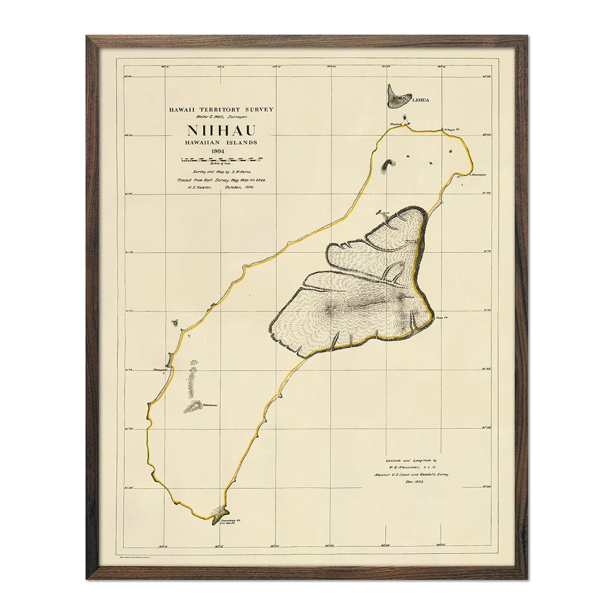
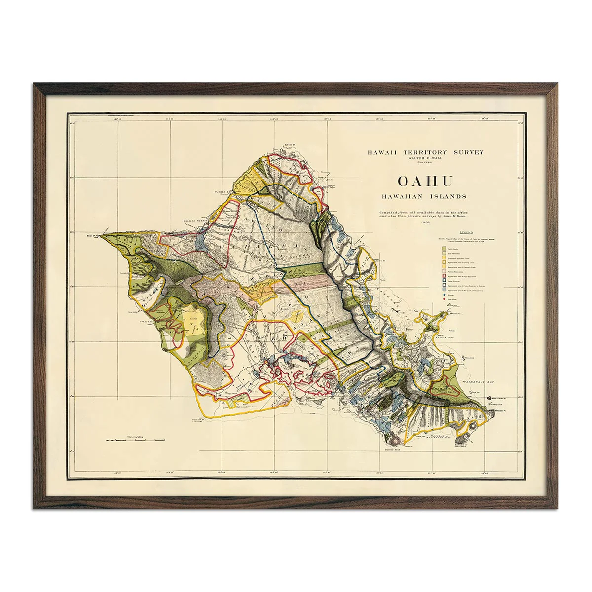
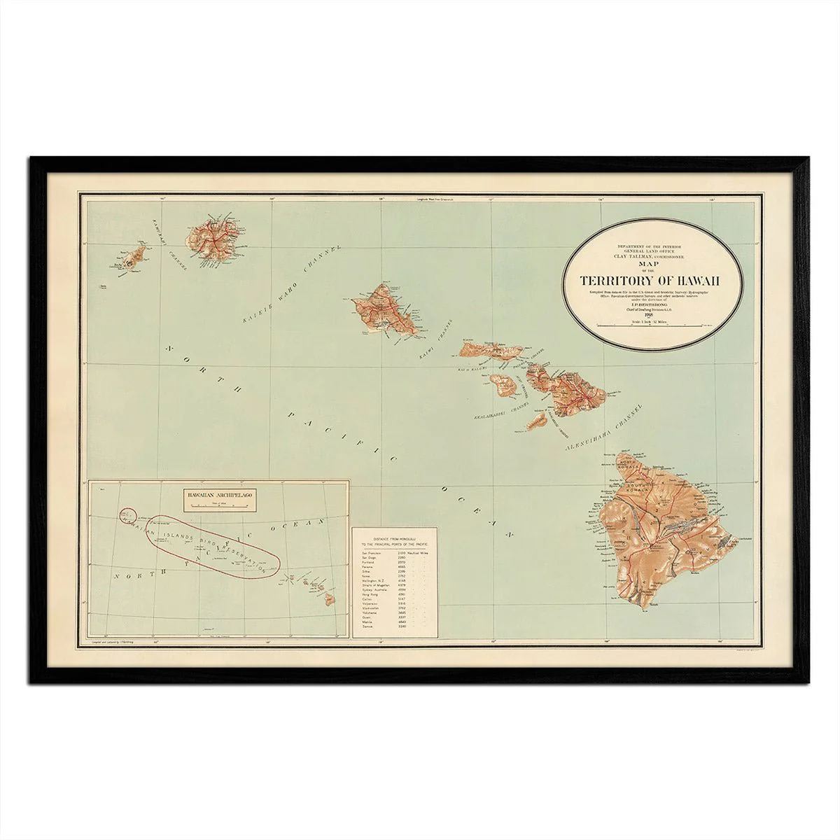
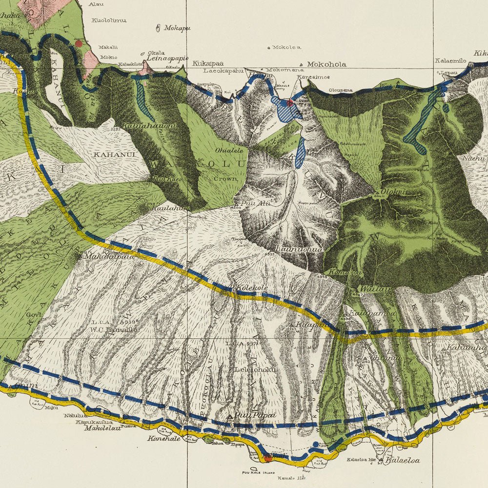
Molokai Island 1906 Map
A beautifully restored map of Molokai Island from 1906. This reproduction print was originally drafted in 1897 part of a series of maps done of the Hawaiian Islands by a team headed by W.D. Alexander and M.D. Monsarrat. It was a color lithographed map with relief shown by contours, spot heights, and hachures. In 1906, it was printed by Andrew B. Graham Co., Lithographers within a Report of the Territory of Hawaii for the Secretary of the Interior.
Product Information
Product Information
Shipping & Returns
Shipping & Returns
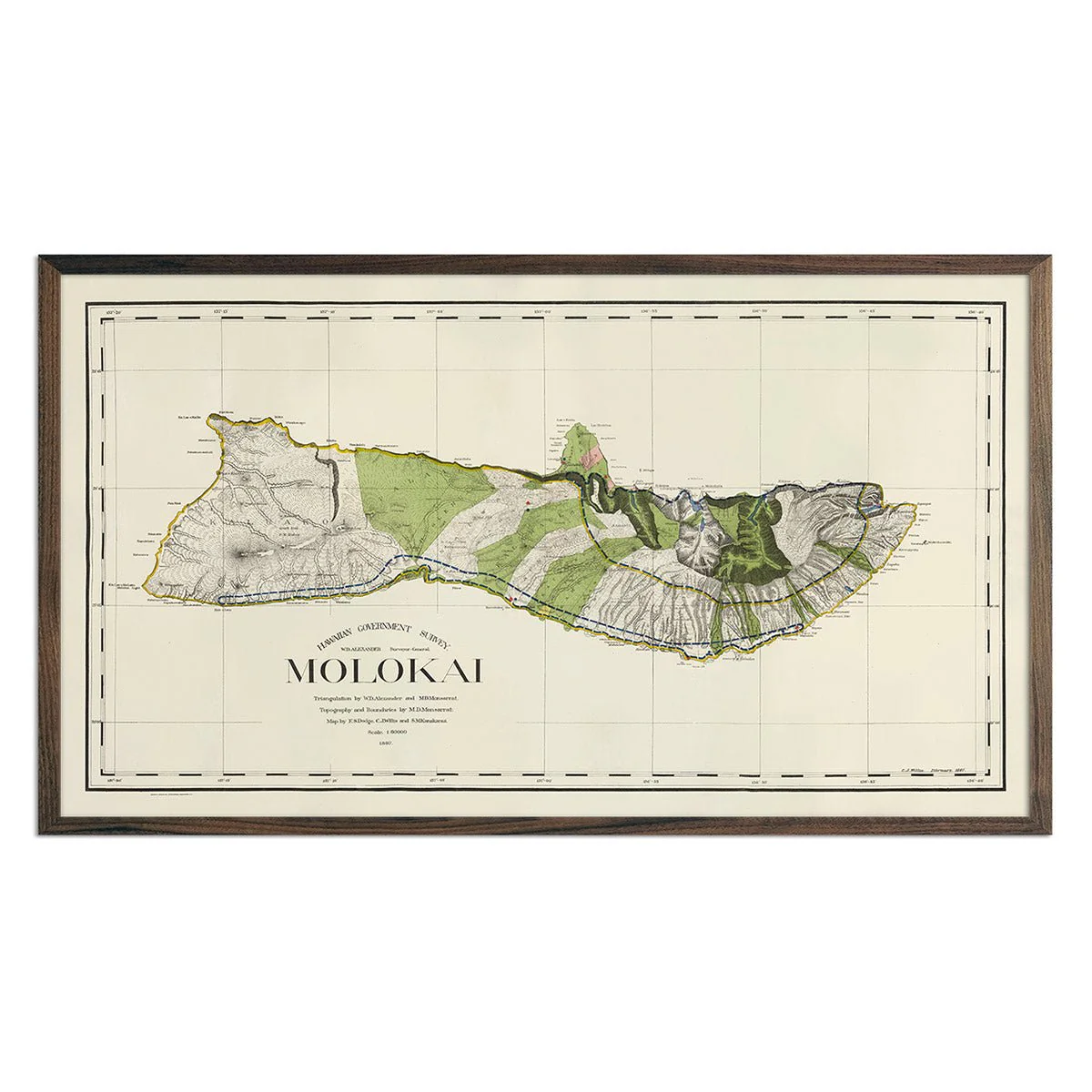
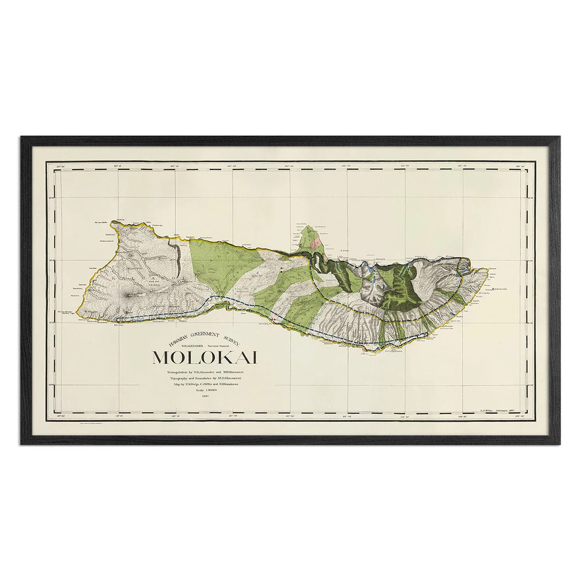
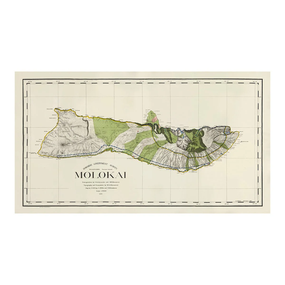
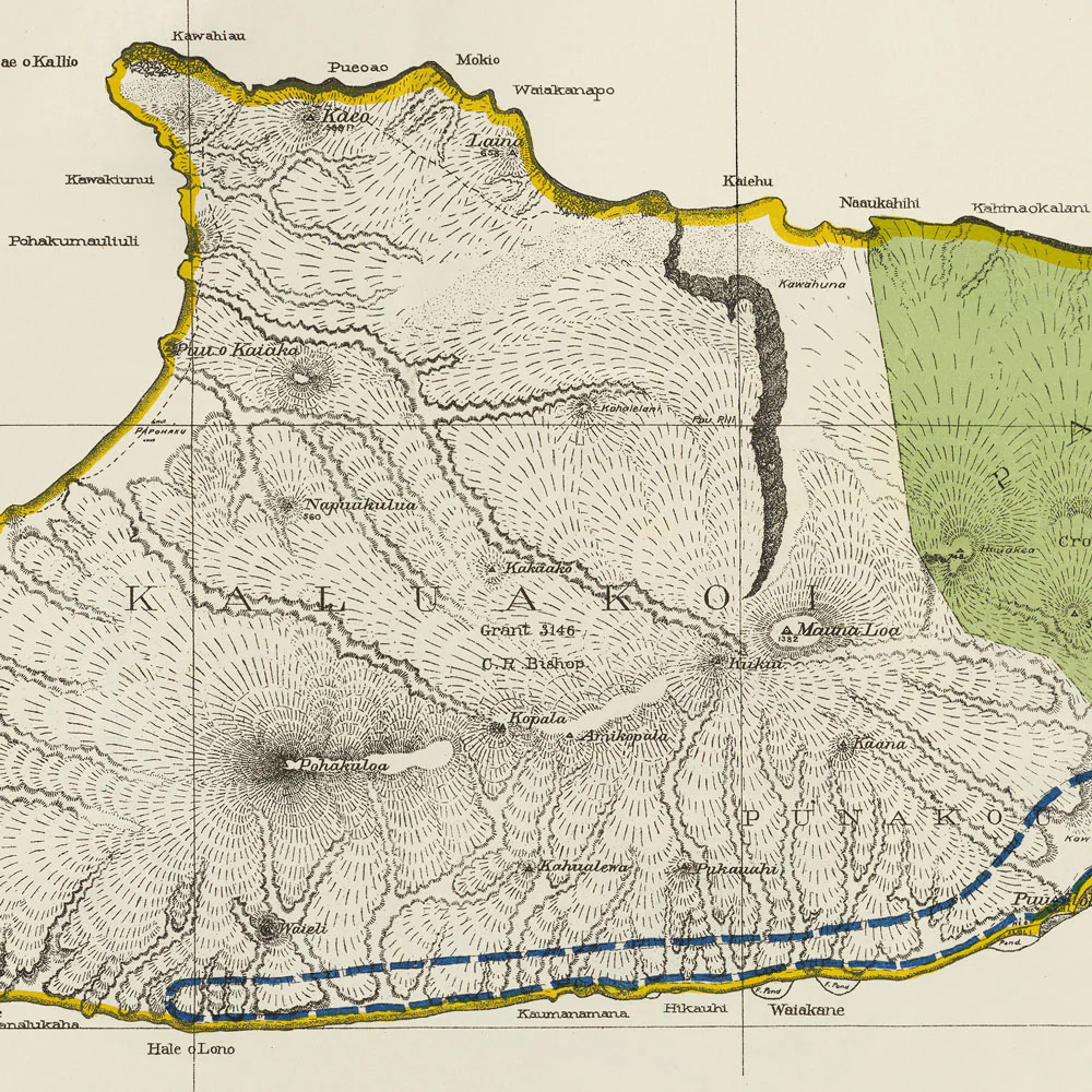
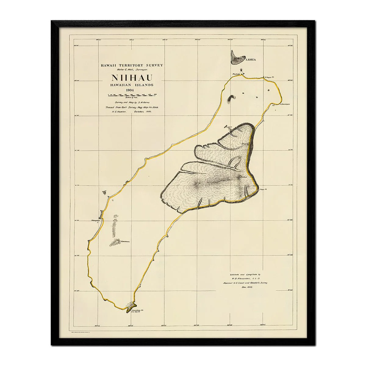
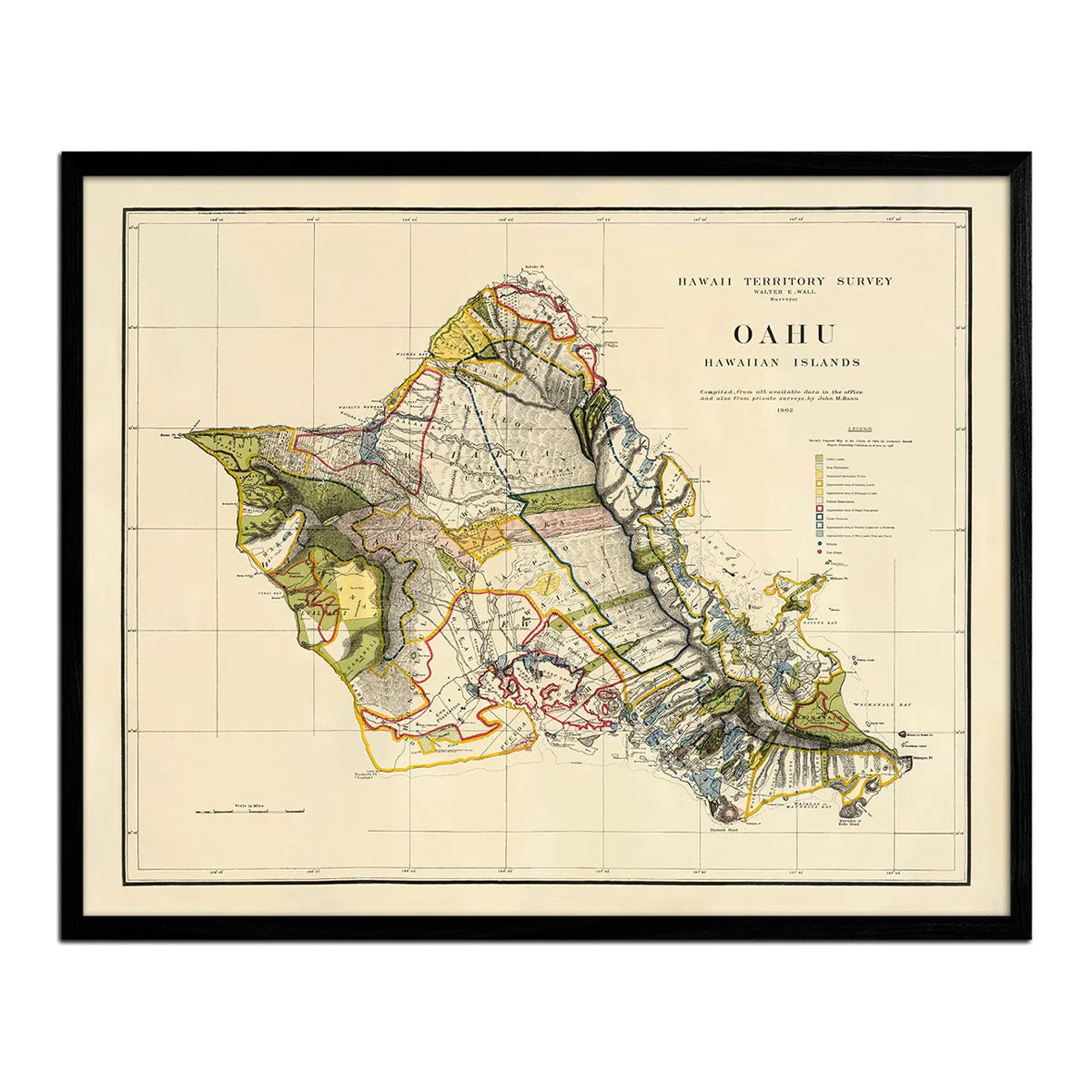
Molokai Island 1906 Map
Molokai Island 1906 Map
A beautifully restored map of Molokai Island from 1906. This reproduction print was originally drafted in 1897 part of a series of maps done of the Hawaiian Islands by a team headed by W.D. Alexander and M.D. Monsarrat. It was a color lithographed map with relief shown by contours, spot heights, and hachures. In 1906, it was printed by Andrew B. Graham Co., Lithographers within a Report of the Territory of Hawaii for the Secretary of the Interior.
Original: $8,900.00
-70%$8,900.00
$2,670.00Product Information
Product Information
Shipping & Returns
Shipping & Returns
Description
A beautifully restored map of Molokai Island from 1906. This reproduction print was originally drafted in 1897 part of a series of maps done of the Hawaiian Islands by a team headed by W.D. Alexander and M.D. Monsarrat. It was a color lithographed map with relief shown by contours, spot heights, and hachures. In 1906, it was printed by Andrew B. Graham Co., Lithographers within a Report of the Territory of Hawaii for the Secretary of the Interior.