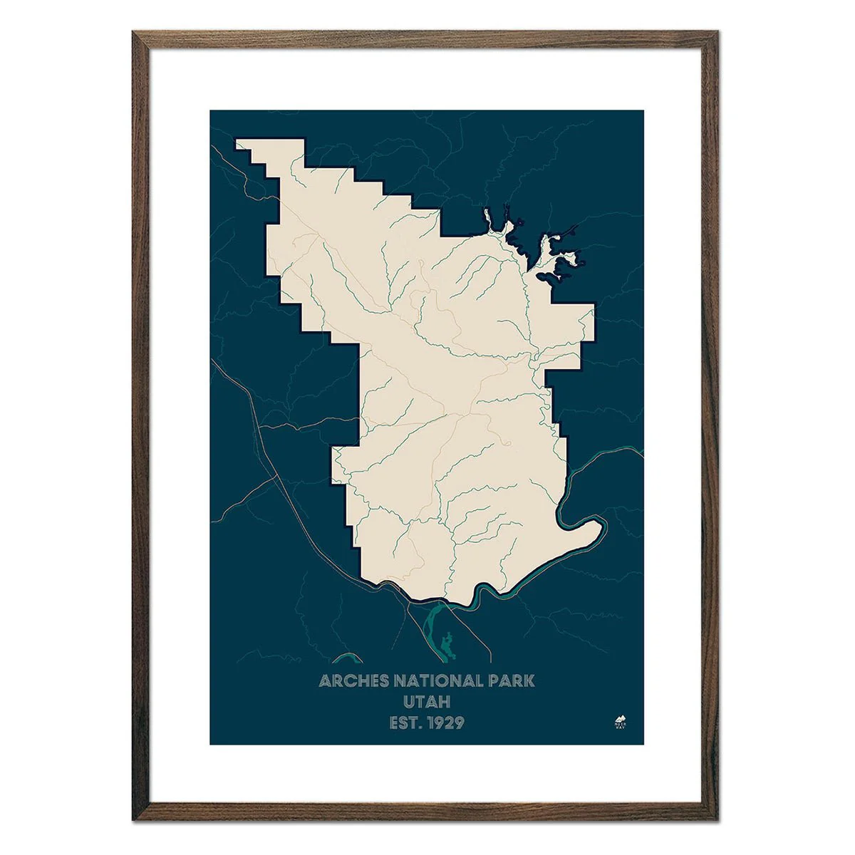
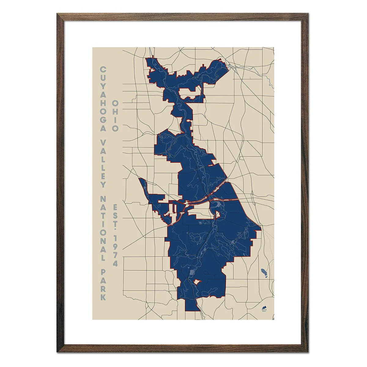
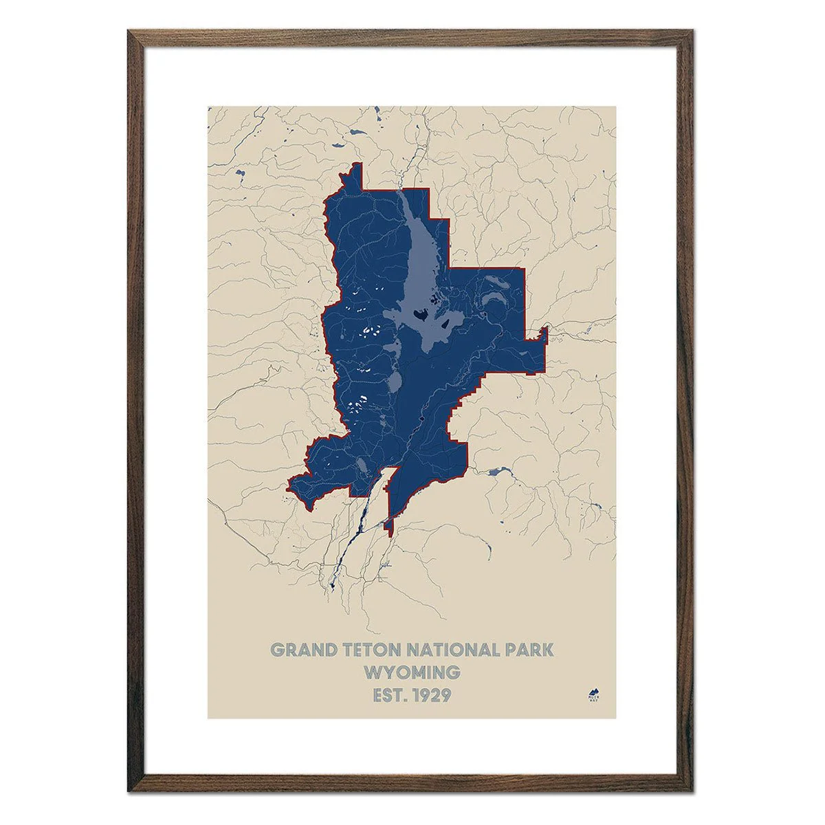
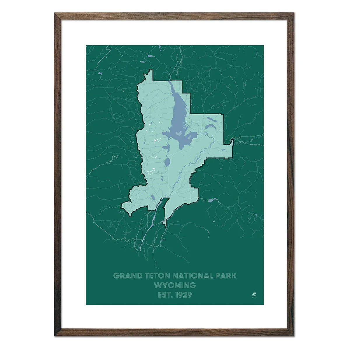
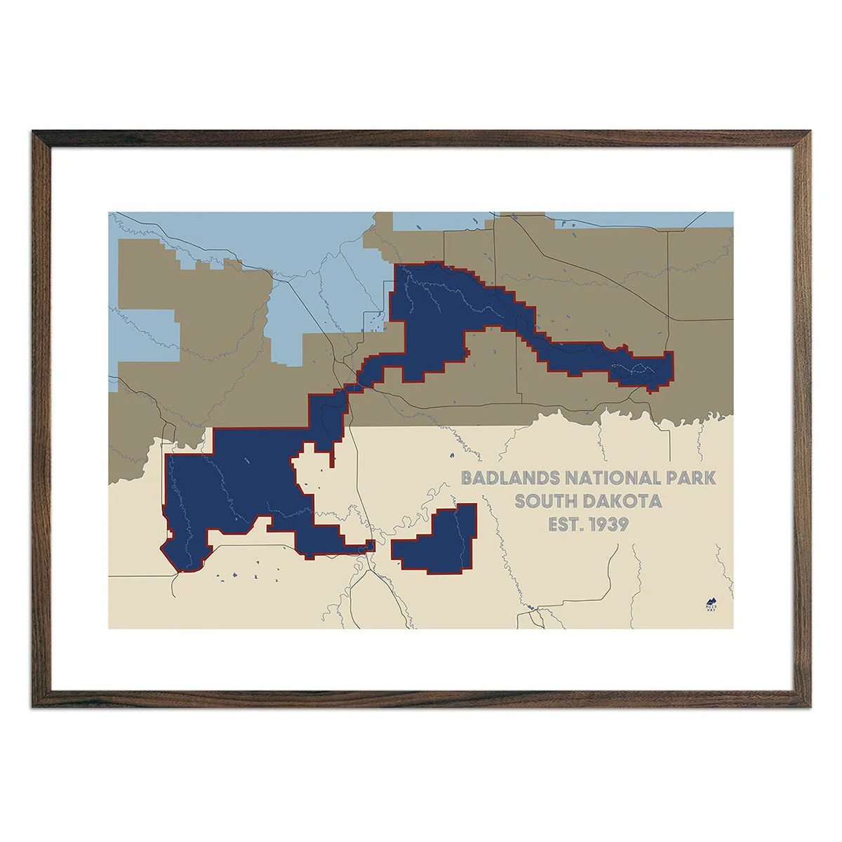
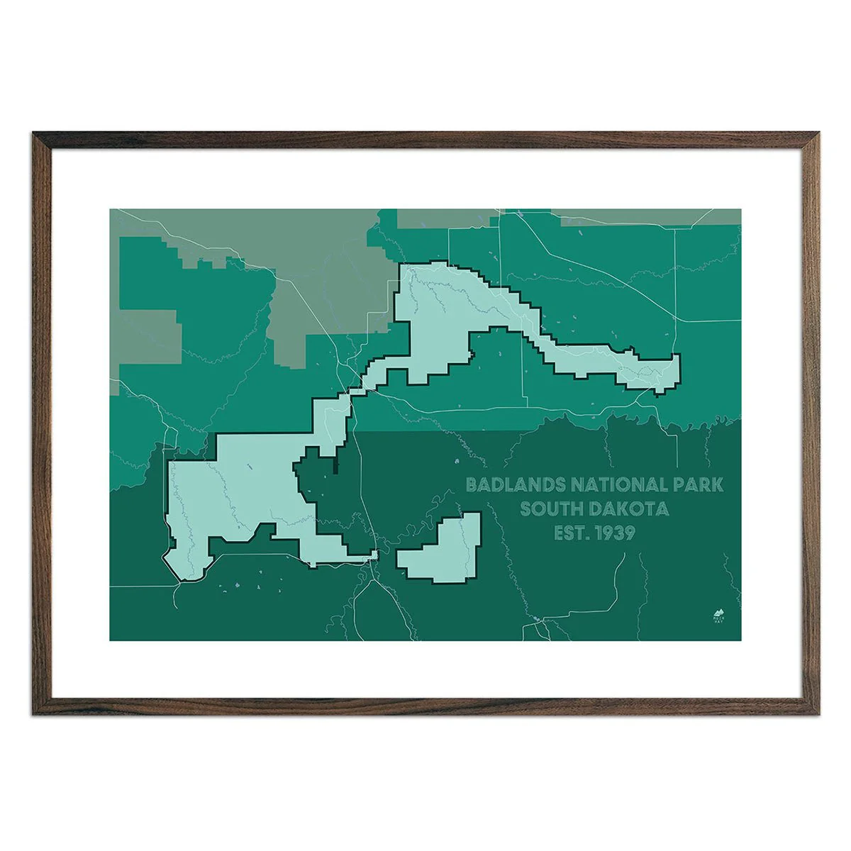
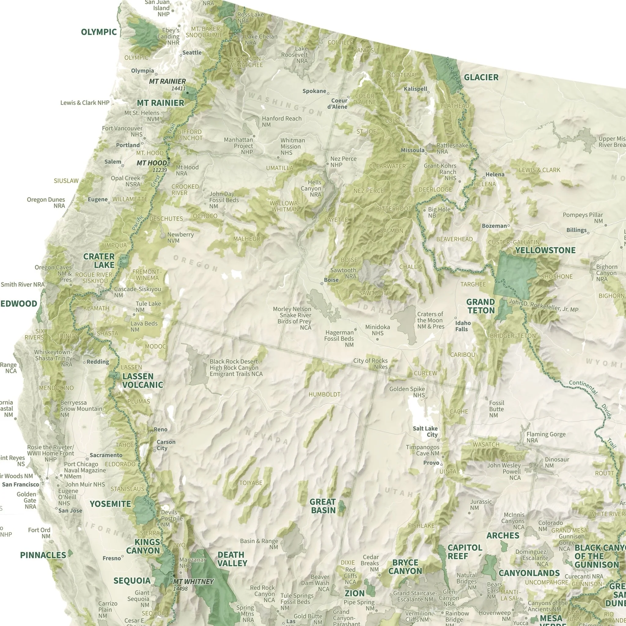
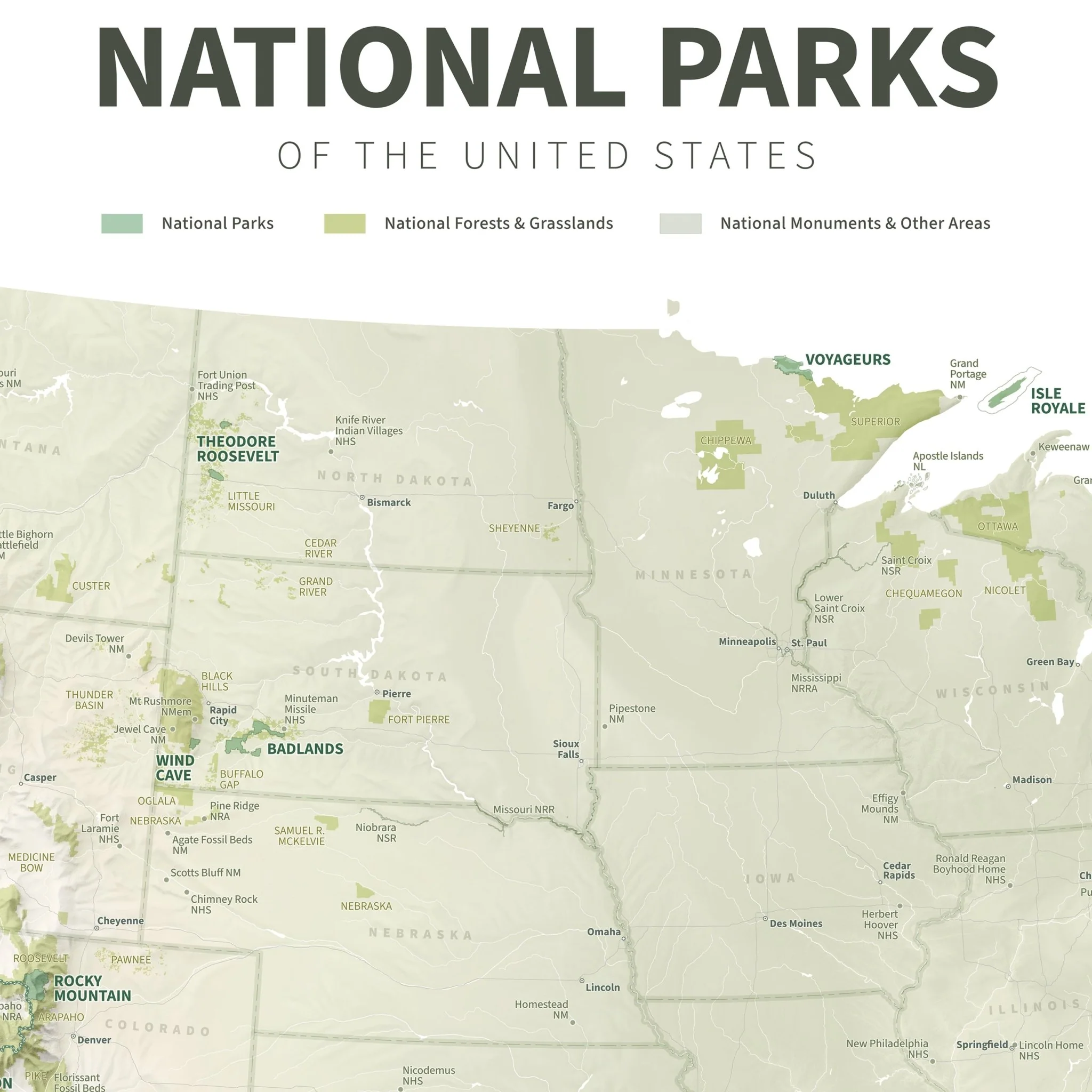
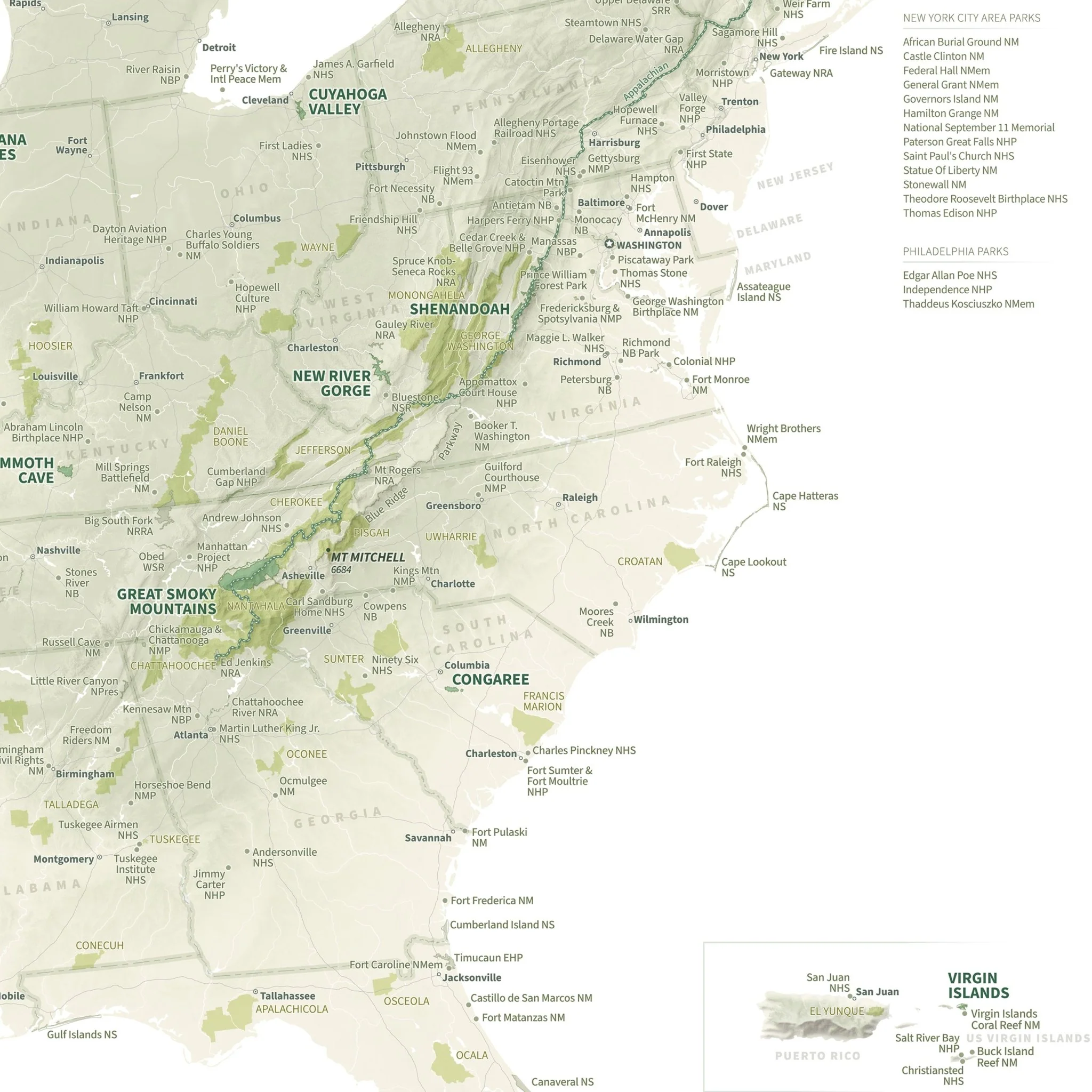
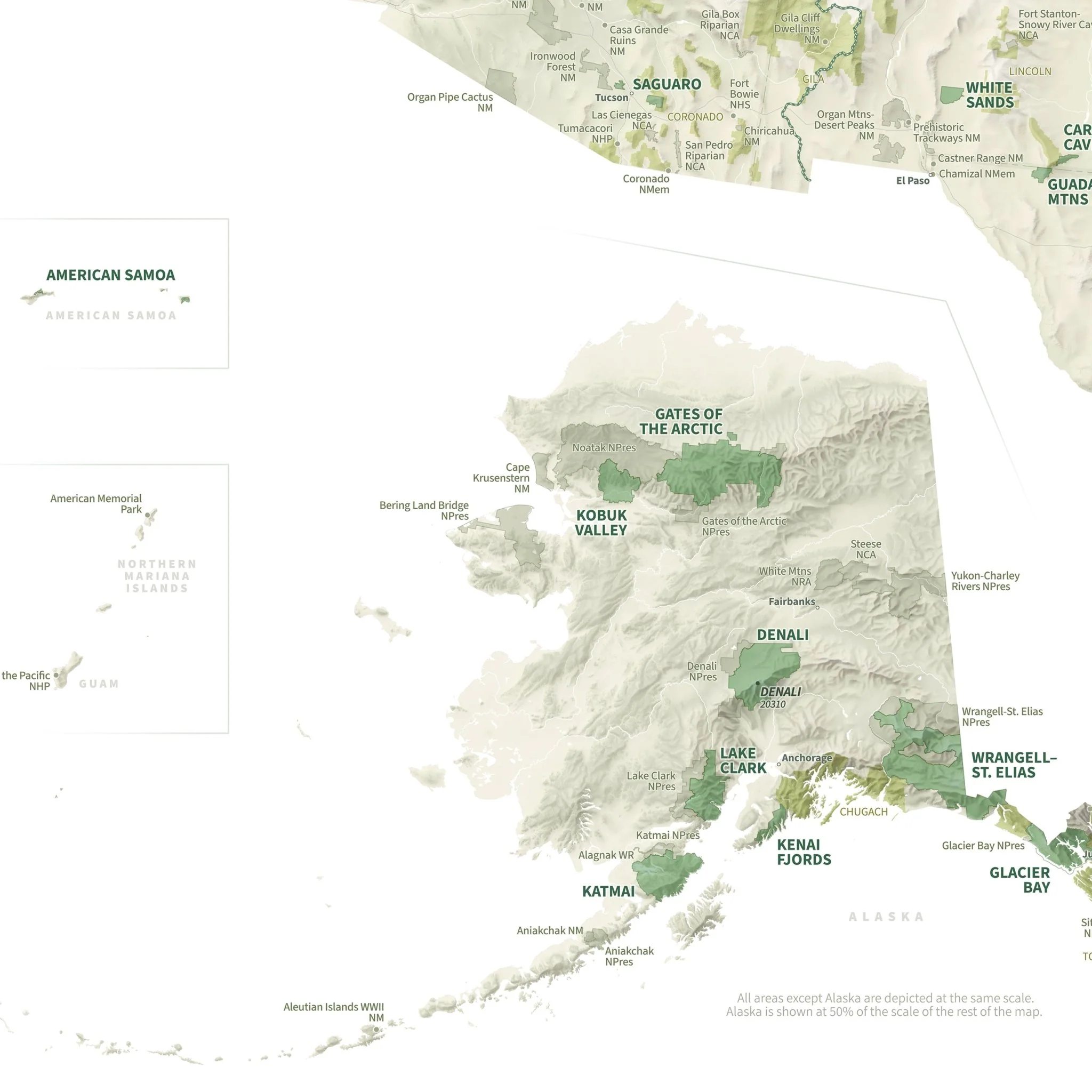
US National Parks Shaded Relief Map
From Acadia to Zion, from Denali to Death Valley, our national parks preserve some of the grandest landscapes on the planet. With hand-placed labels and beautiful shaded relief, this map showcases the parks in their unique geographic settings, from the red rocks of Utah to the distant islands of Hawaii and American Samoa. National forests, national monuments, and other National Park Service sites are shown, too, plus the Triple Crown of hiking: the PCT, CDT, and the AT. It's a gorgeous display of America's public lands and their endless potential for adventure and exploration.
Designed in partnership of Natural Atlas.
Product Information
Product Information
Shipping & Returns
Shipping & Returns

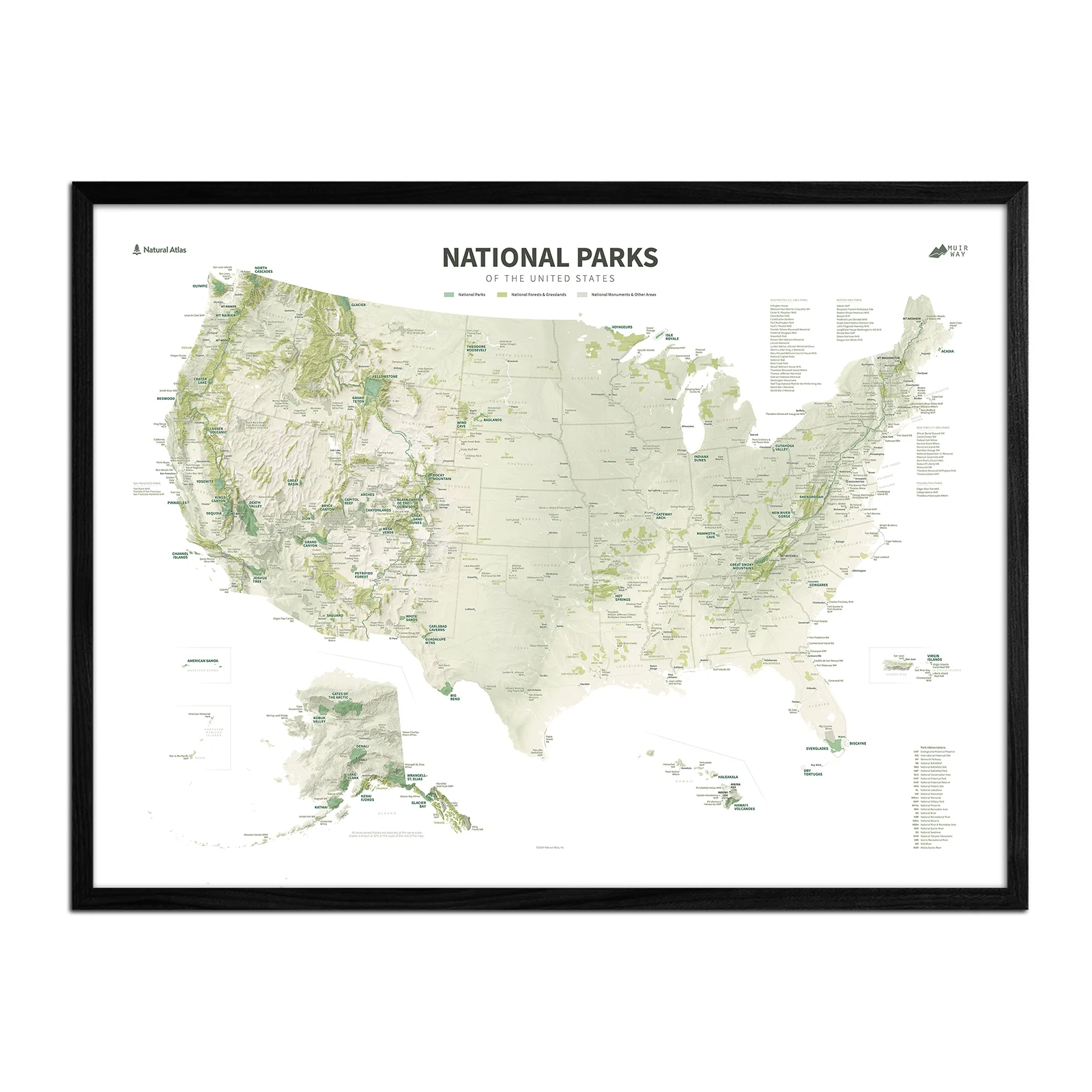
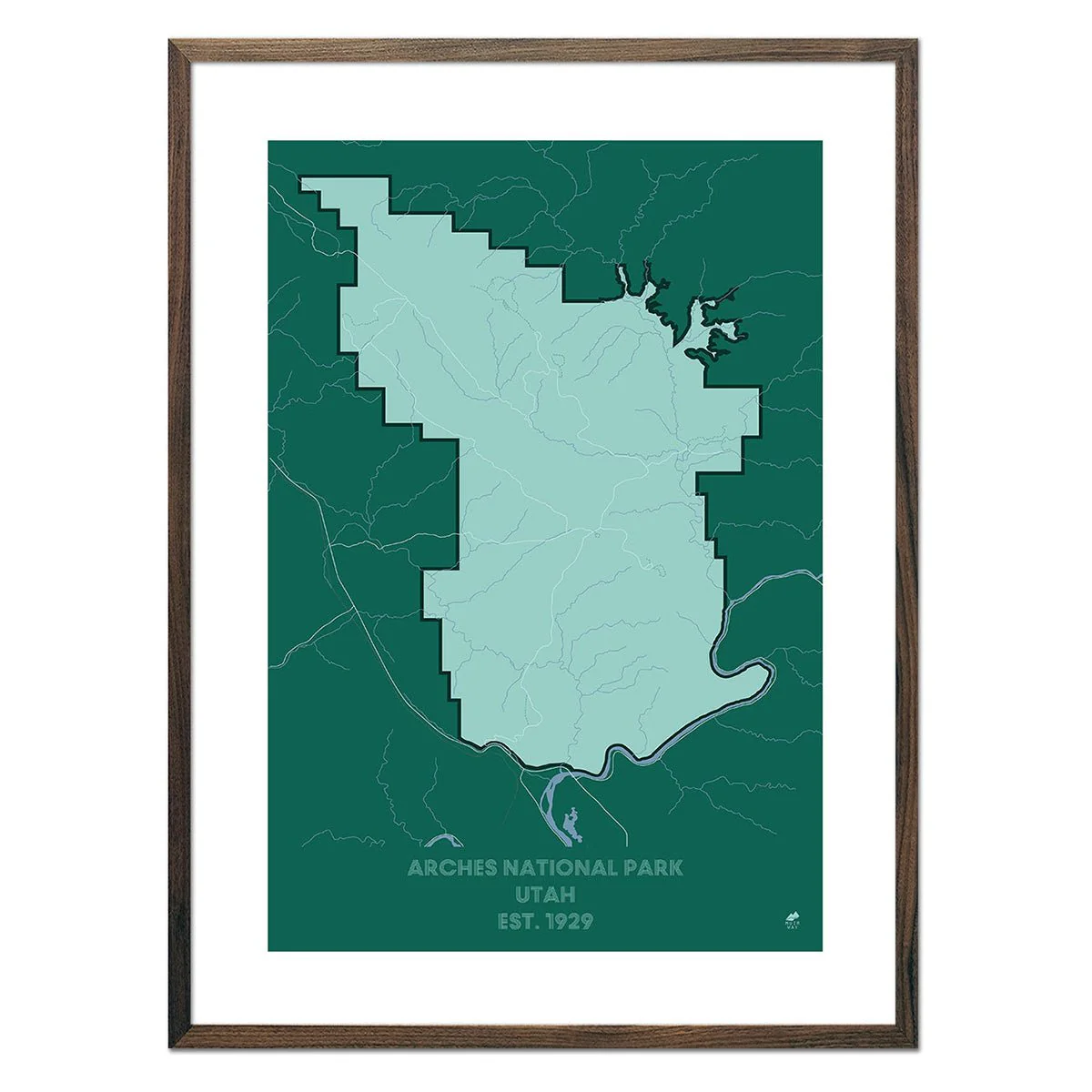
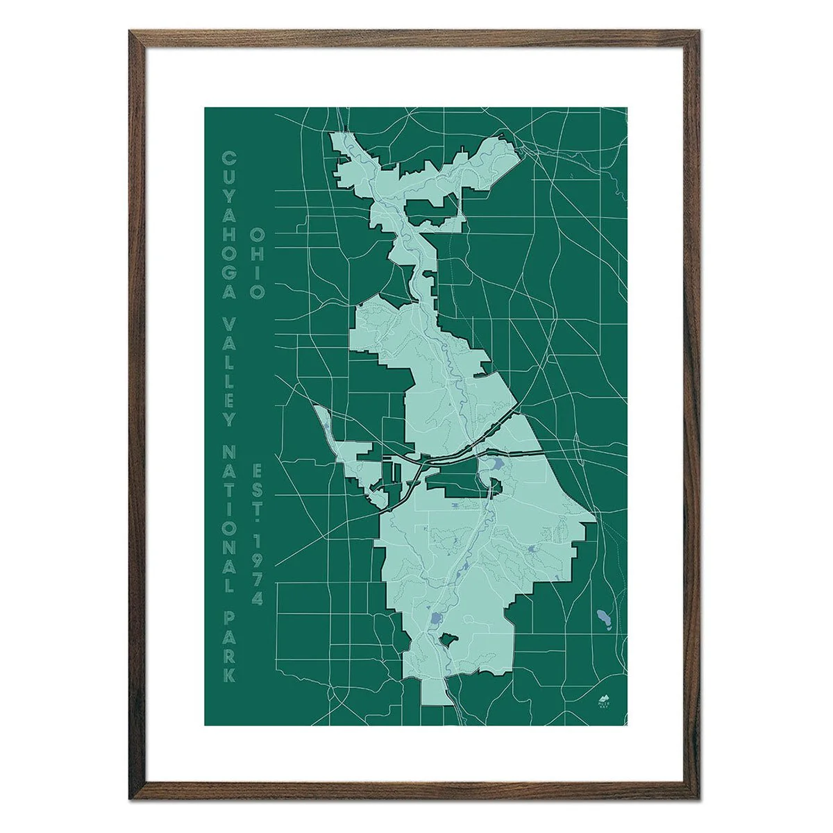
US National Parks Shaded Relief Map
US National Parks Shaded Relief Map
From Acadia to Zion, from Denali to Death Valley, our national parks preserve some of the grandest landscapes on the planet. With hand-placed labels and beautiful shaded relief, this map showcases the parks in their unique geographic settings, from the red rocks of Utah to the distant islands of Hawaii and American Samoa. National forests, national monuments, and other National Park Service sites are shown, too, plus the Triple Crown of hiking: the PCT, CDT, and the AT. It's a gorgeous display of America's public lands and their endless potential for adventure and exploration.
Designed in partnership of Natural Atlas.
Product Information
Product Information
Shipping & Returns
Shipping & Returns
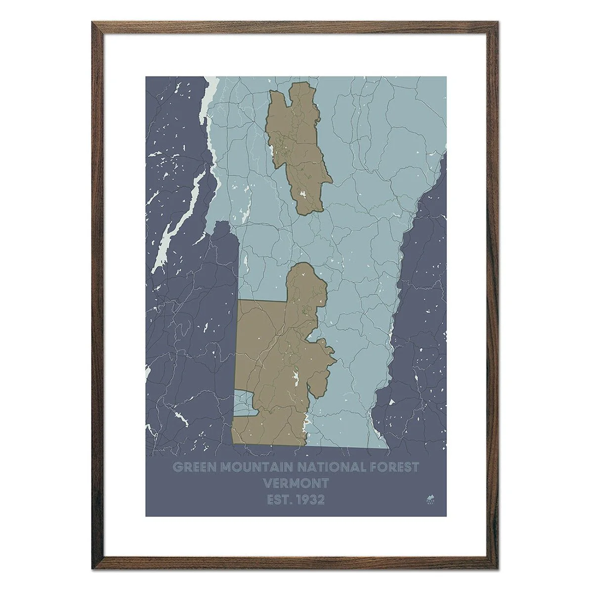
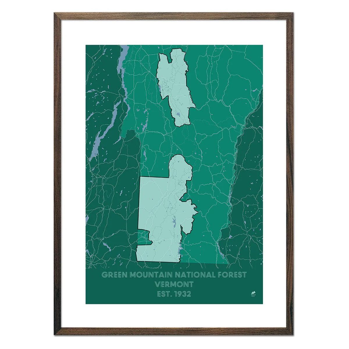
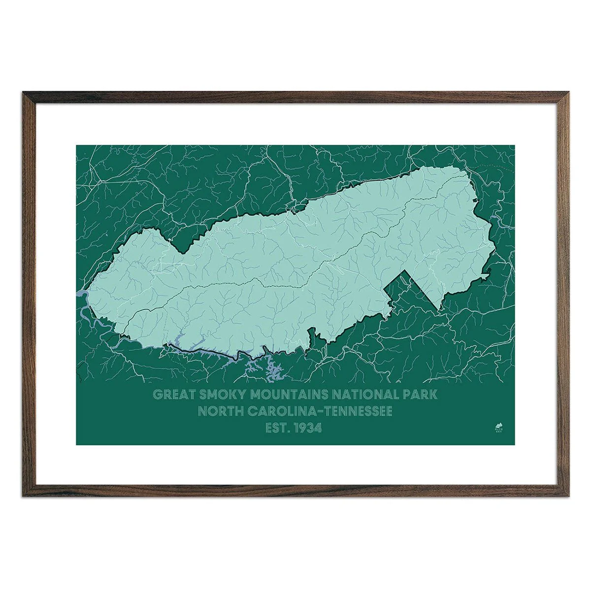
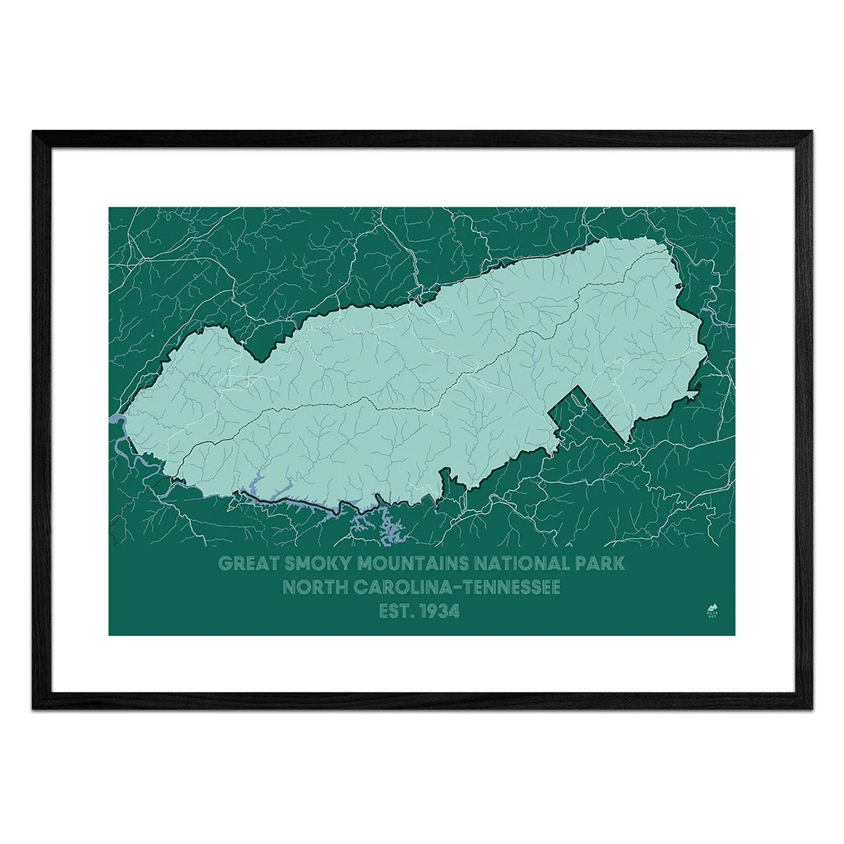
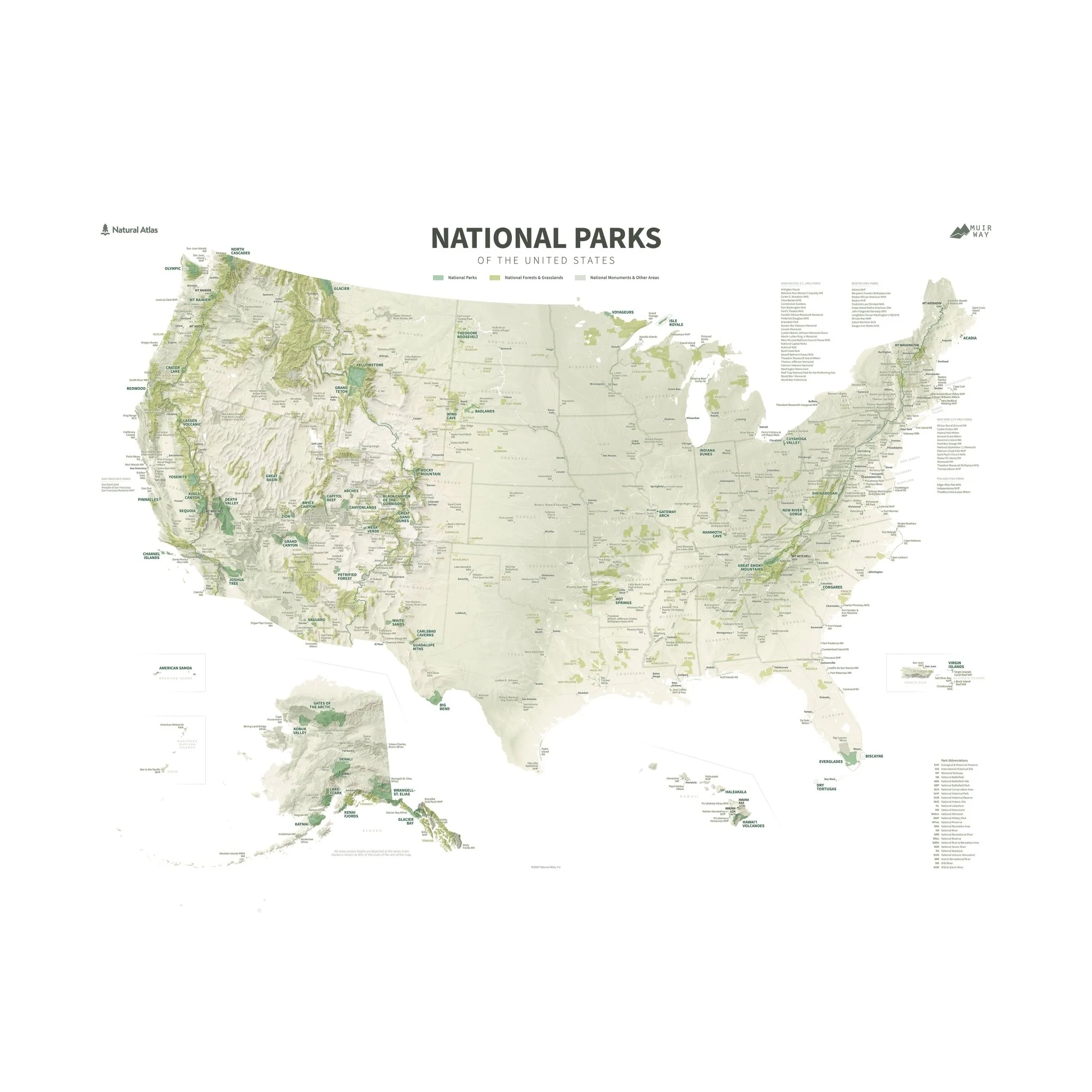
Description
From Acadia to Zion, from Denali to Death Valley, our national parks preserve some of the grandest landscapes on the planet. With hand-placed labels and beautiful shaded relief, this map showcases the parks in their unique geographic settings, from the red rocks of Utah to the distant islands of Hawaii and American Samoa. National forests, national monuments, and other National Park Service sites are shown, too, plus the Triple Crown of hiking: the PCT, CDT, and the AT. It's a gorgeous display of America's public lands and their endless potential for adventure and exploration.
Designed in partnership of Natural Atlas.