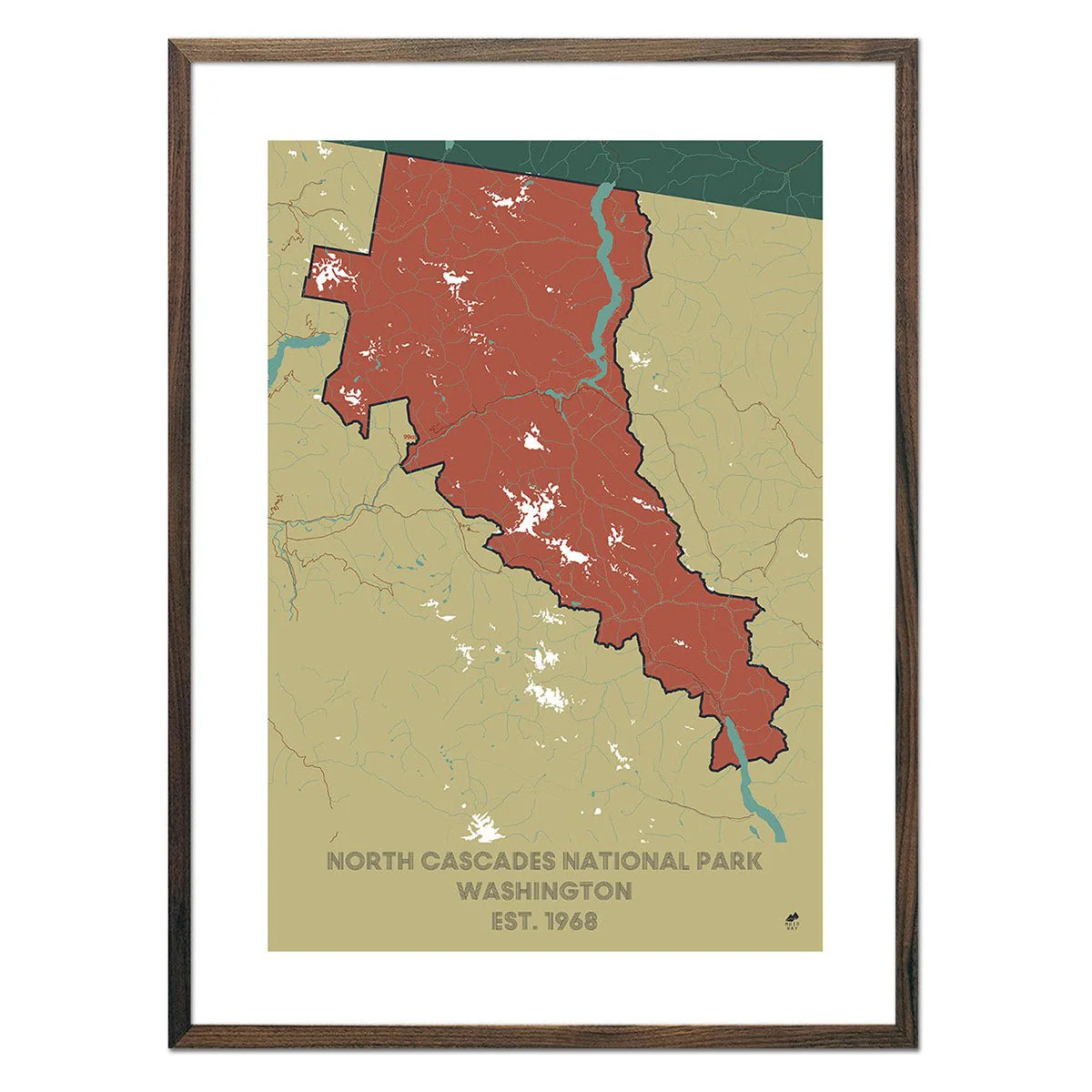
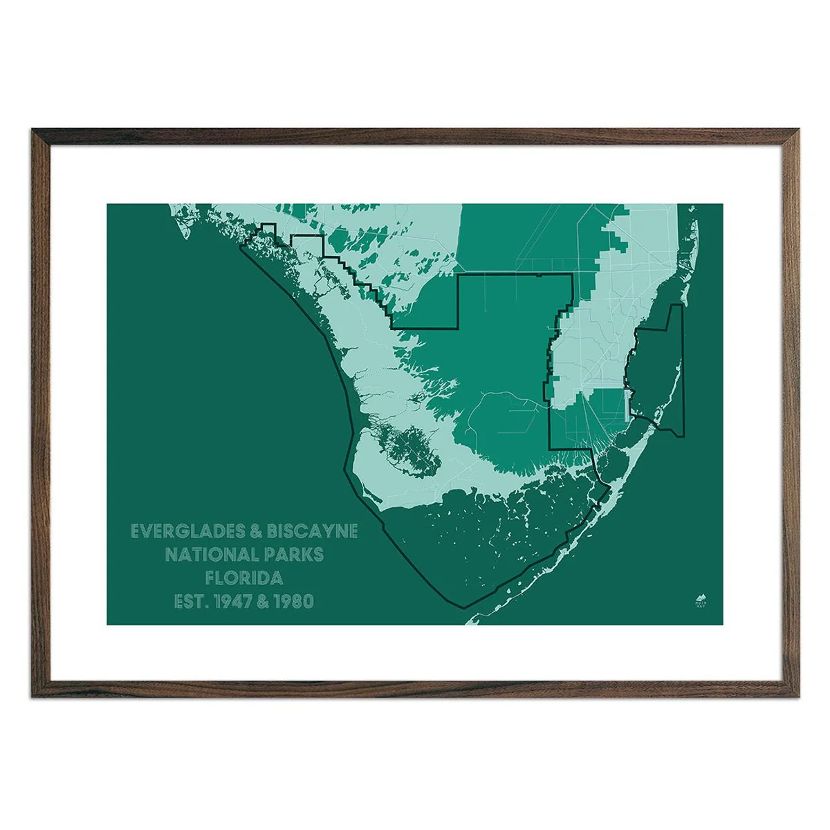
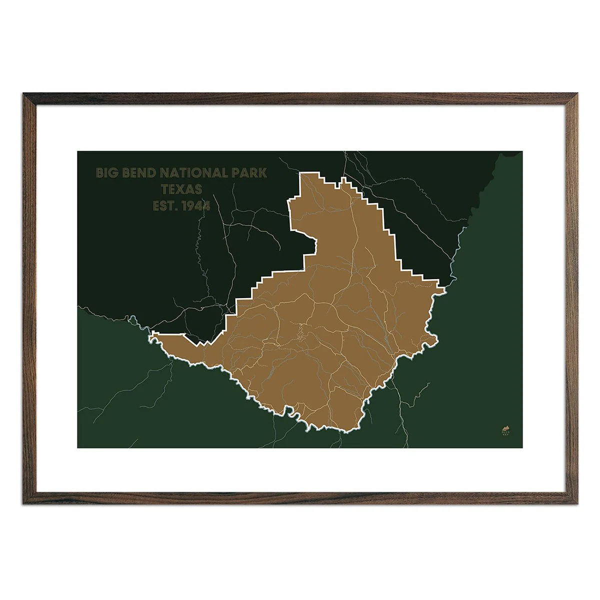
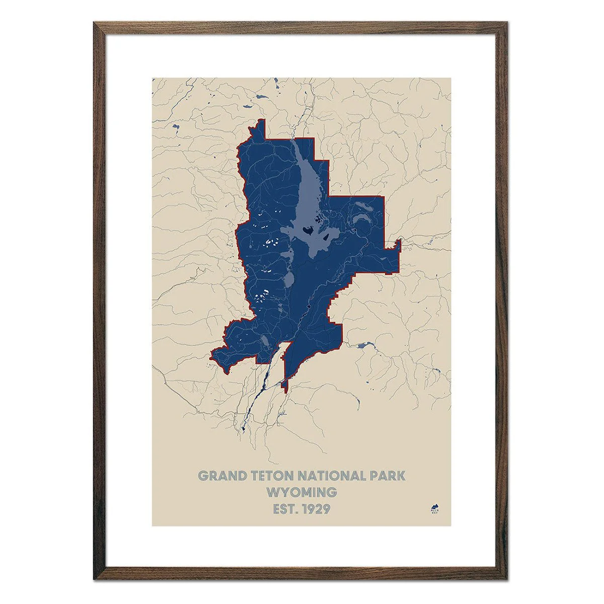
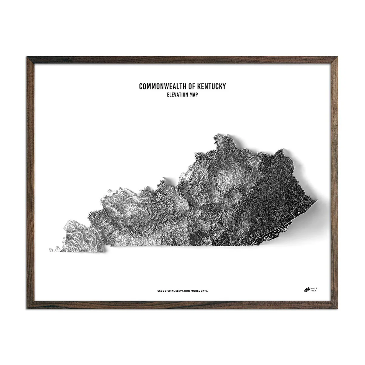
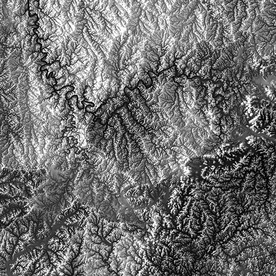
Kentucky Elevation Map
Explore the diverse and beautiful terrain of Kentucky and all of its distinctive character revealed within the detail of this relief map. Through the use of DEM data from the USGS, we magnified the features of its terrain by exaggerating their elevations and applying hillshade. The effect is one that will provide you with endless opportunities to investigate the compelling landscape of Kentucky.
Product Information
Product Information
Shipping & Returns
Shipping & Returns
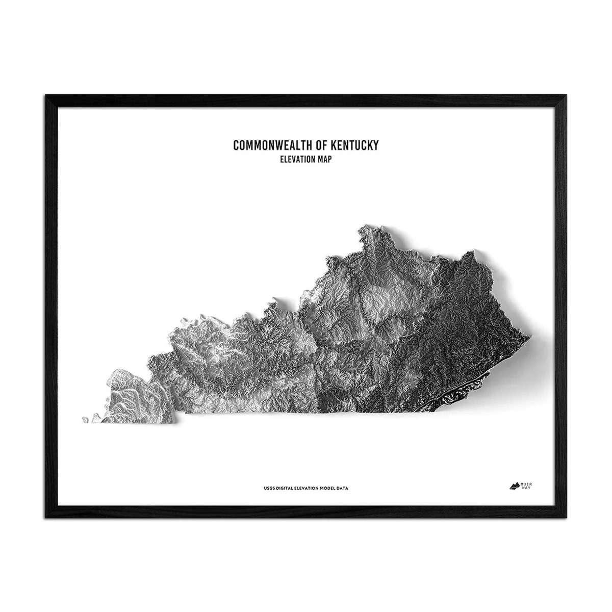

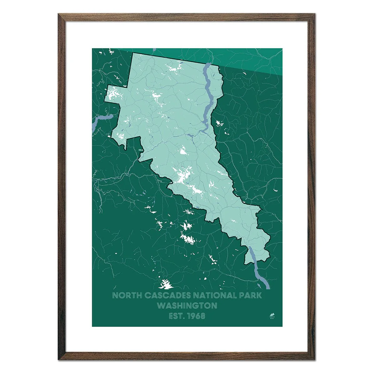
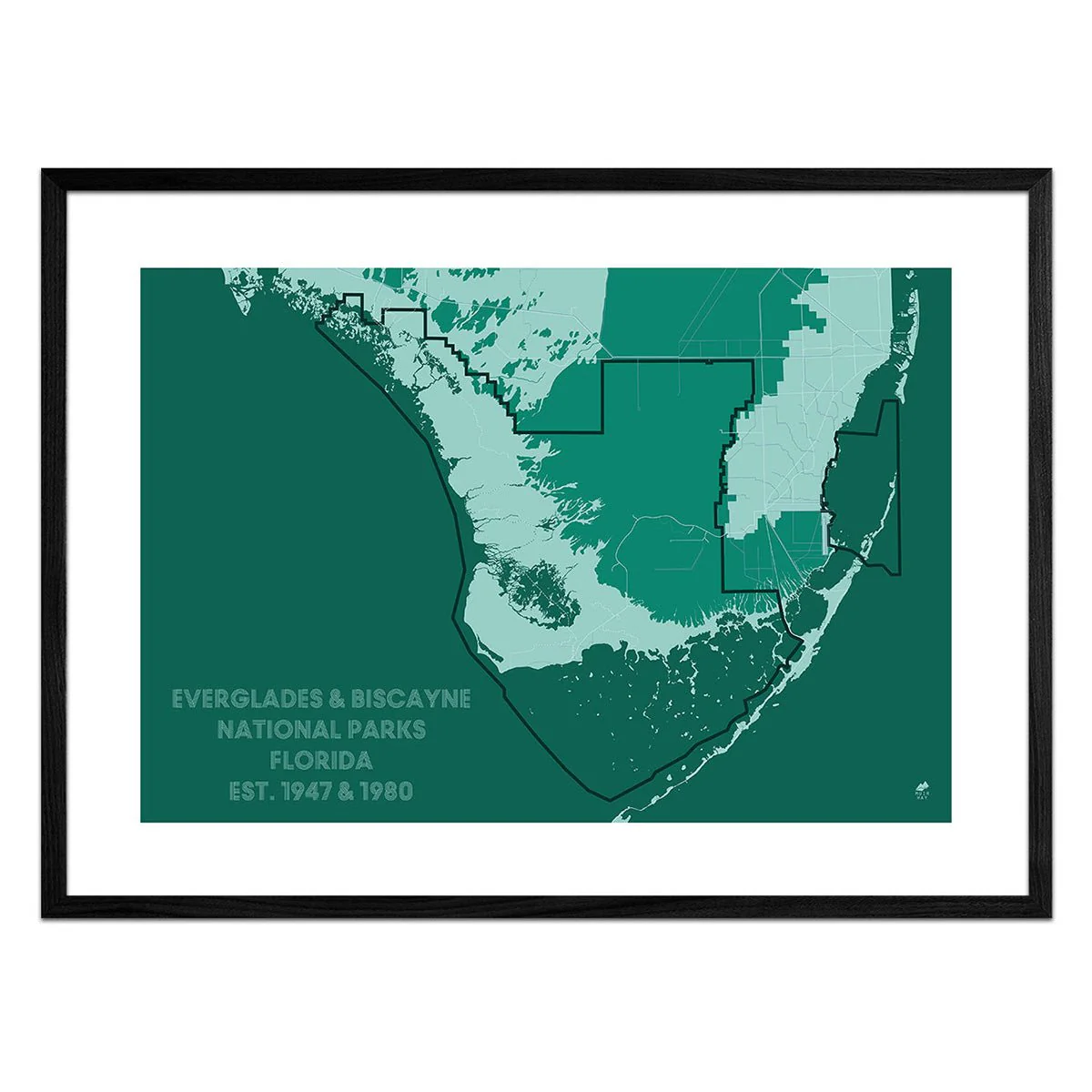
Kentucky Elevation Map
Kentucky Elevation Map
Explore the diverse and beautiful terrain of Kentucky and all of its distinctive character revealed within the detail of this relief map. Through the use of DEM data from the USGS, we magnified the features of its terrain by exaggerating their elevations and applying hillshade. The effect is one that will provide you with endless opportunities to investigate the compelling landscape of Kentucky.
Original: $70.95
-70%$70.95
$21.29Product Information
Product Information
Shipping & Returns
Shipping & Returns
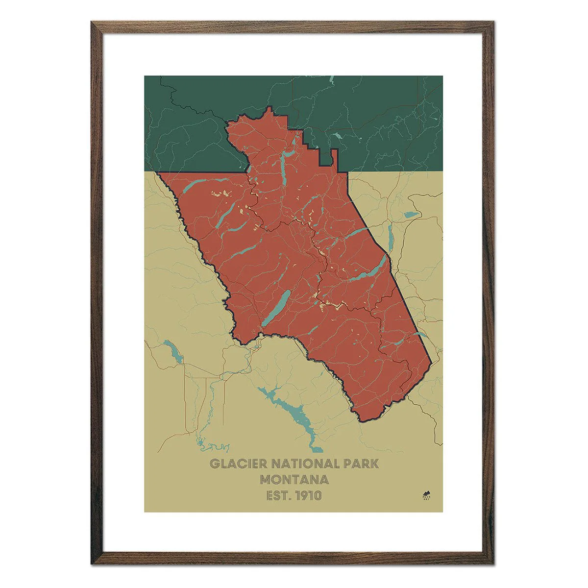
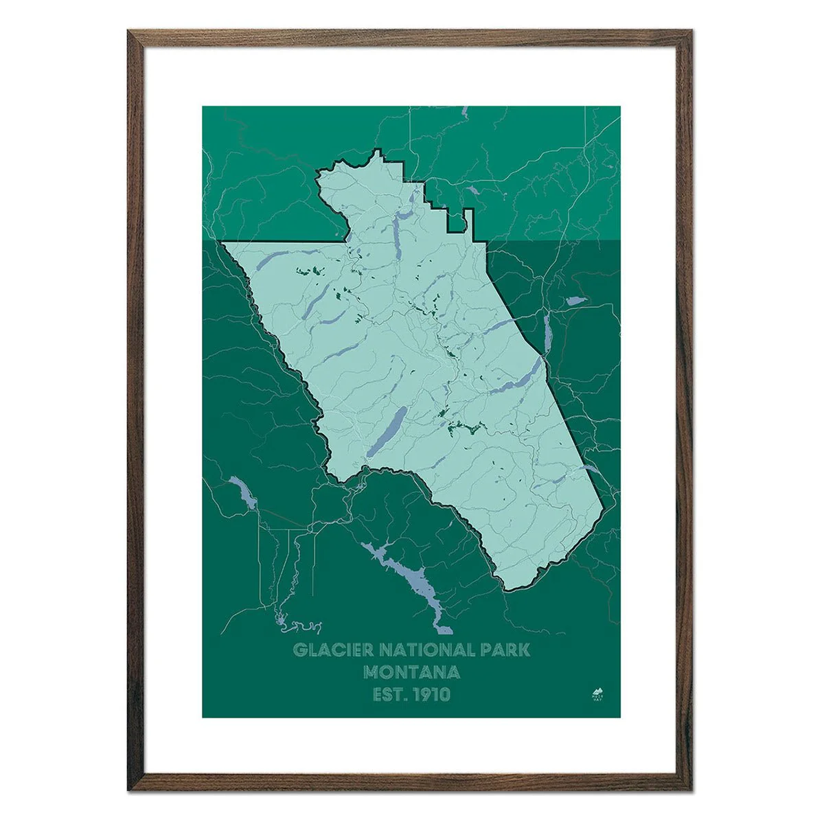
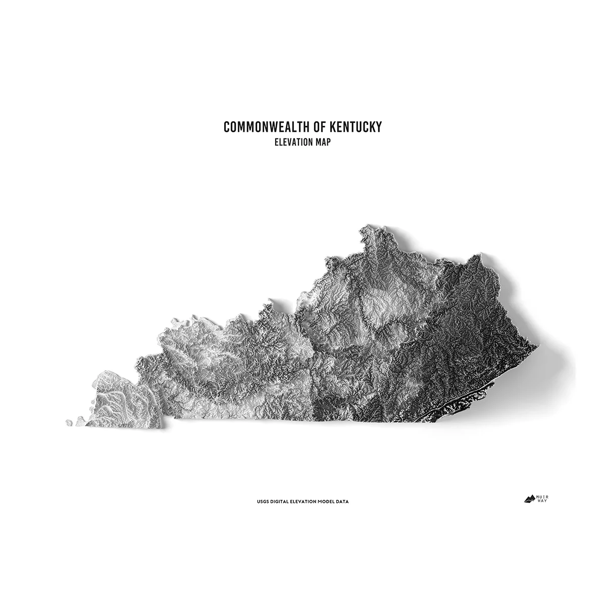
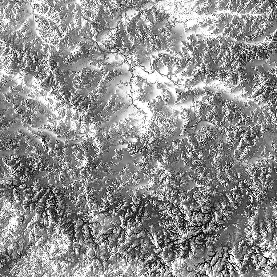
Description
Explore the diverse and beautiful terrain of Kentucky and all of its distinctive character revealed within the detail of this relief map. Through the use of DEM data from the USGS, we magnified the features of its terrain by exaggerating their elevations and applying hillshade. The effect is one that will provide you with endless opportunities to investigate the compelling landscape of Kentucky.