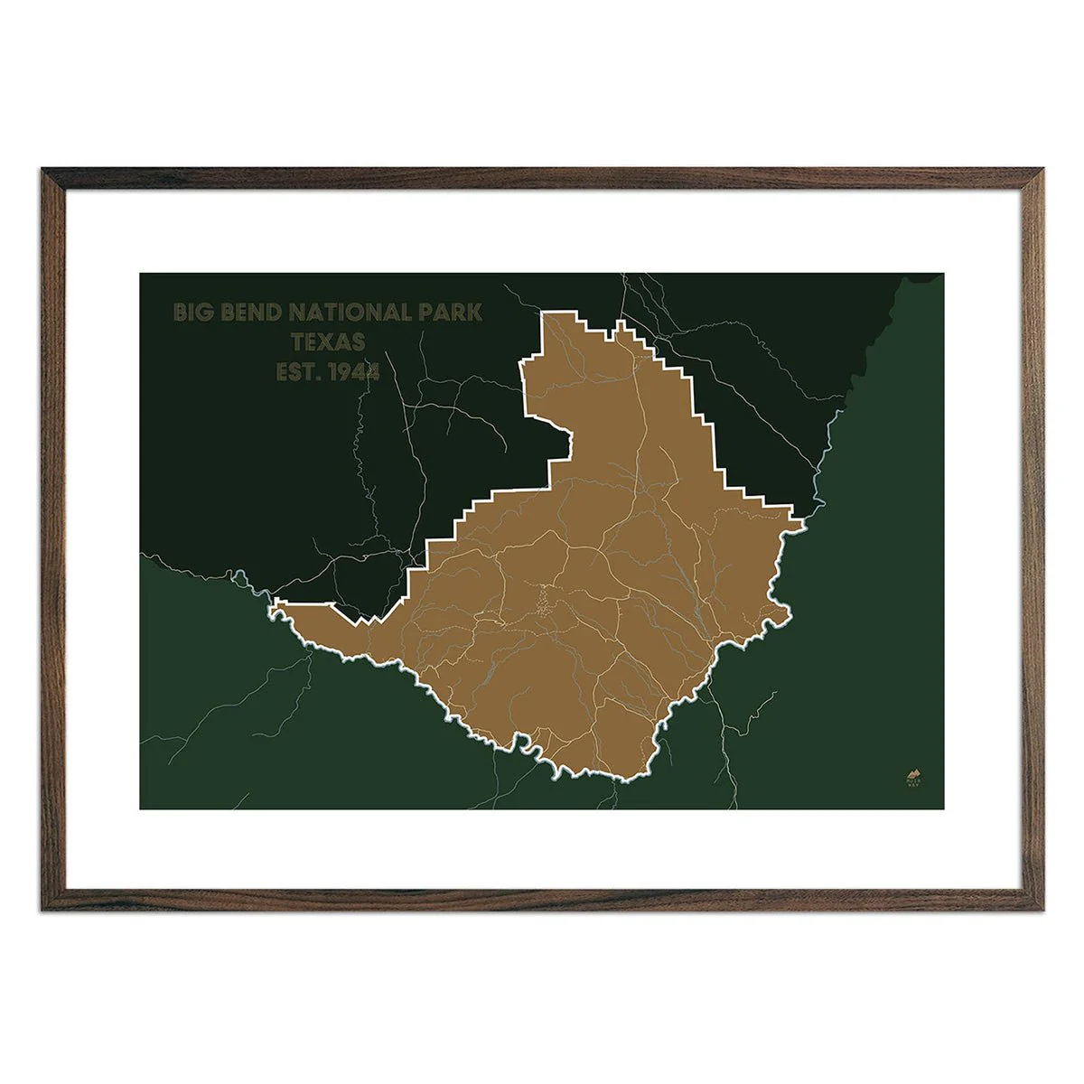
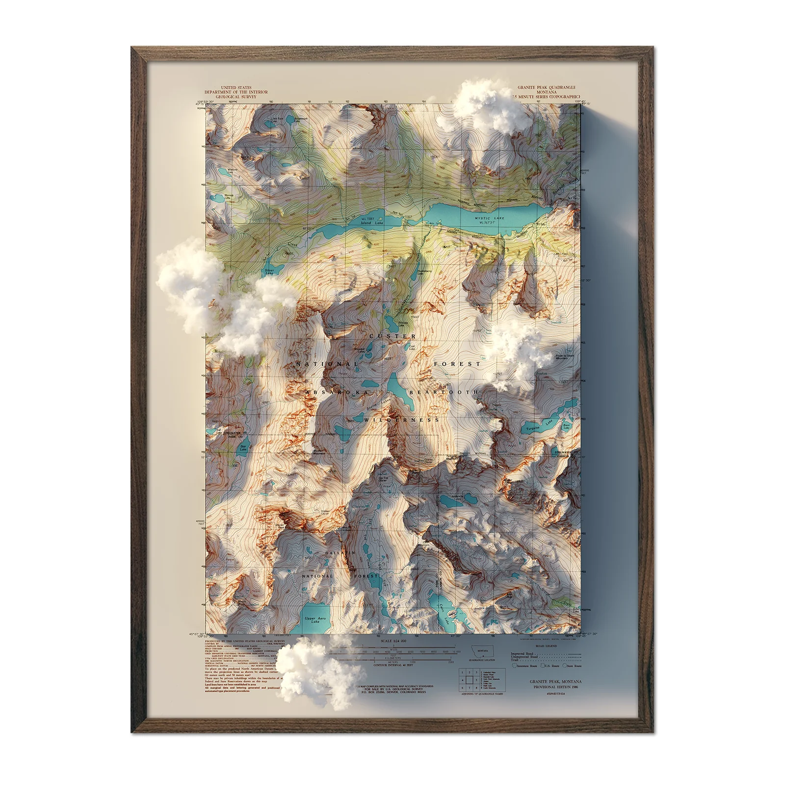
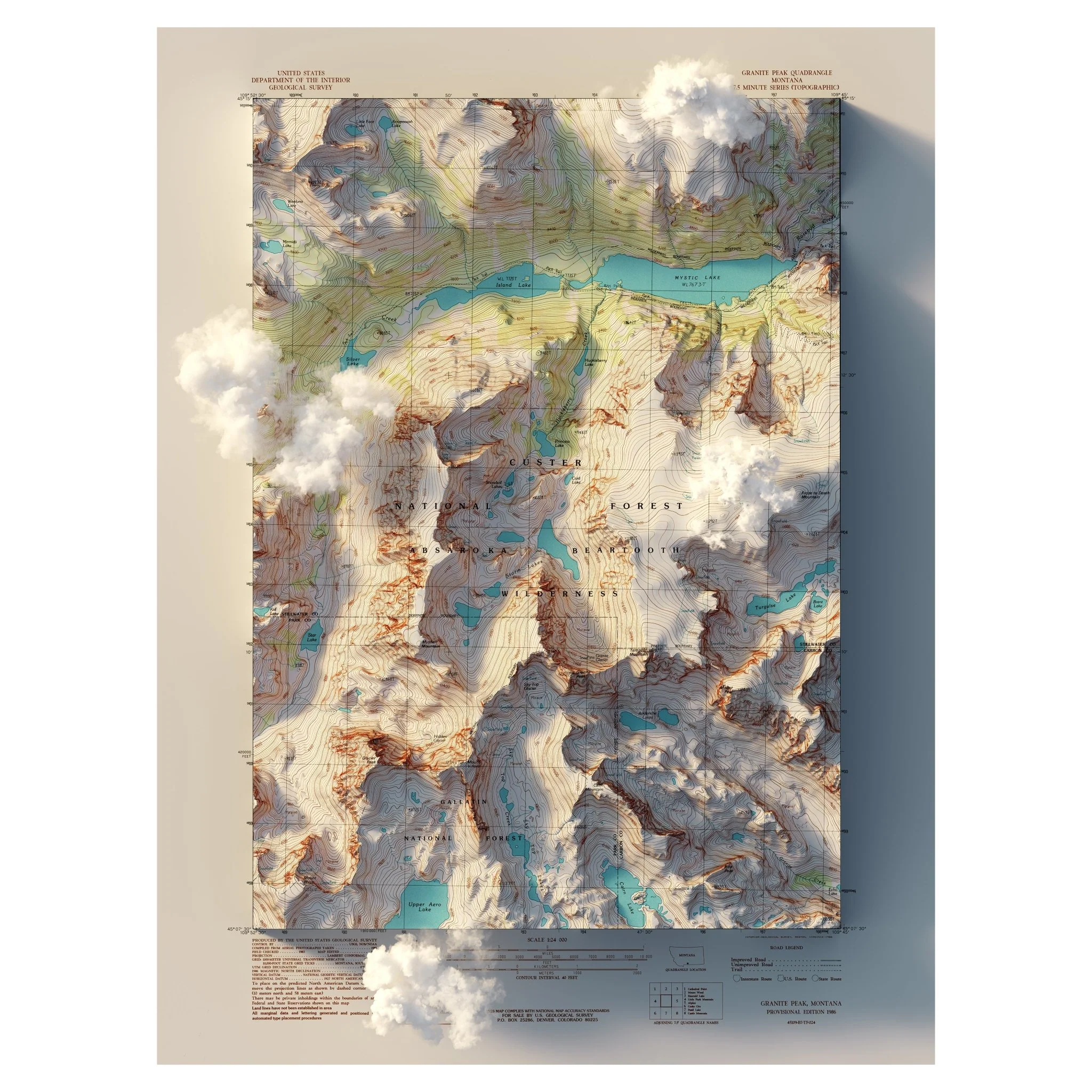
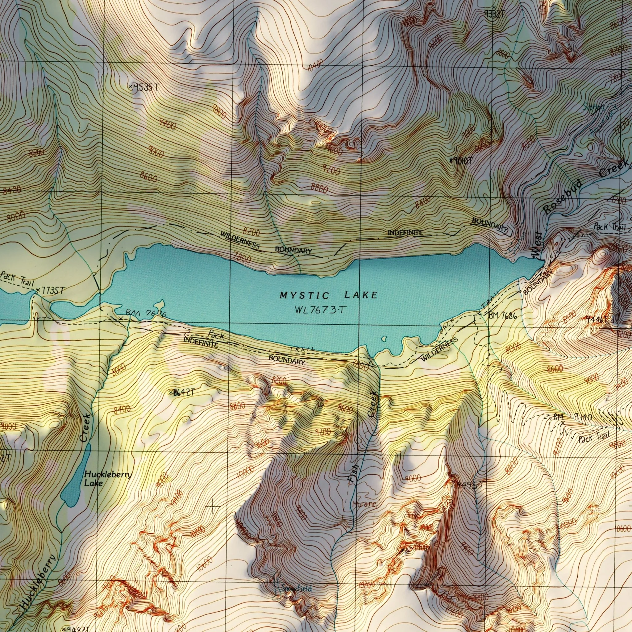
Granite Peak, Montana 1986 Shaded Relief Map
We created this map with the illusion of 3D by applying Digital Elevation Data and meticulously adding shaded relief to the landscape of the original 1986 USGS Quadrangle map of Granite Peak, Montana. This map showcases Granite Peak, the highest point in Montana, and Mystic Lake along with the surrounding peaks. The shading is printed on the paper and does not result from the map protruding from the surface.
Clouds are created for a surreal effect, available with or without
Please Note: Text on the map can be difficult to read due to the small font size and the age of the map. In areas where the relief shading covers the text, the underlying text may not be legible. We suggest the largest size map for better details though the text may still be covered in the darker areas.
Product Information
Product Information
Shipping & Returns
Shipping & Returns
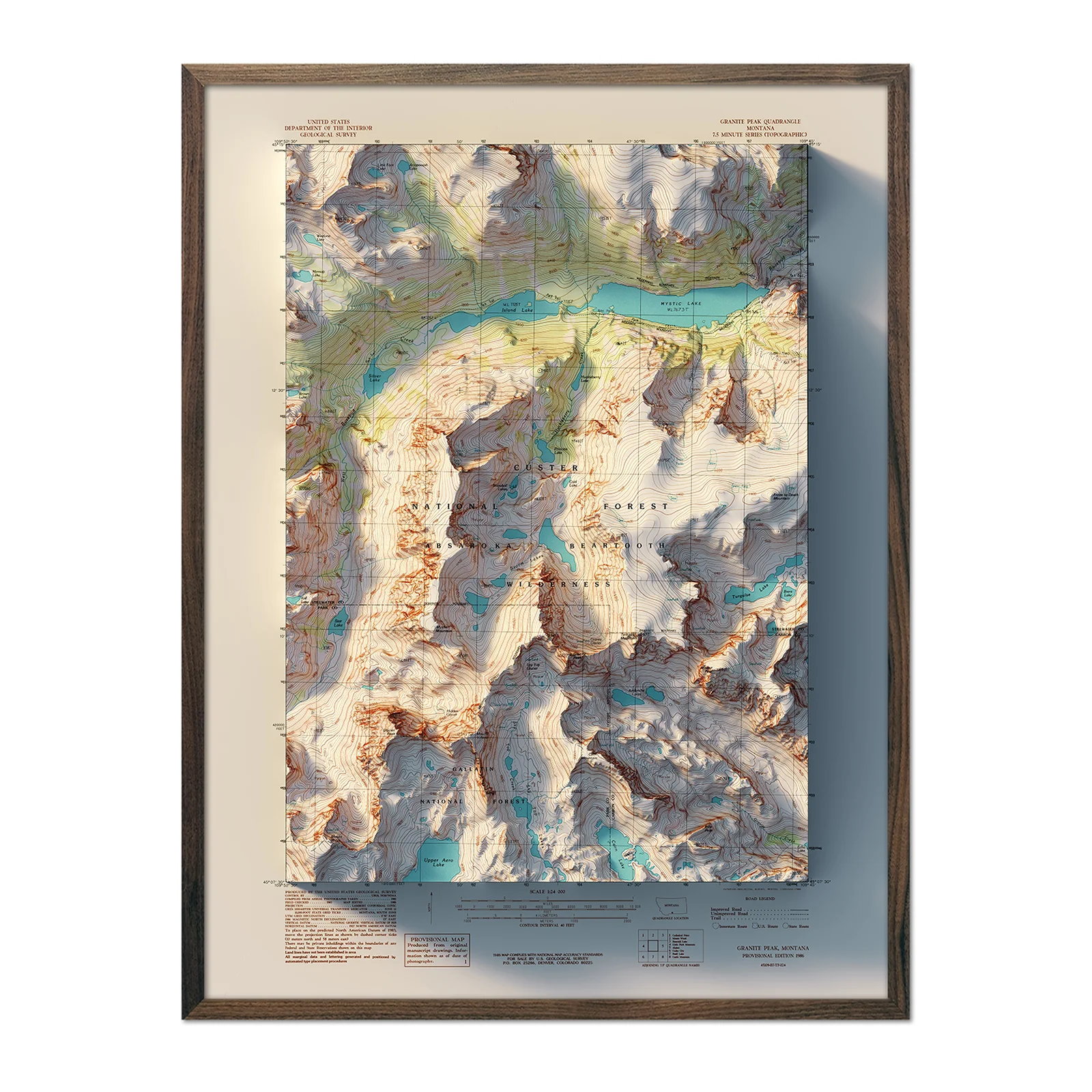
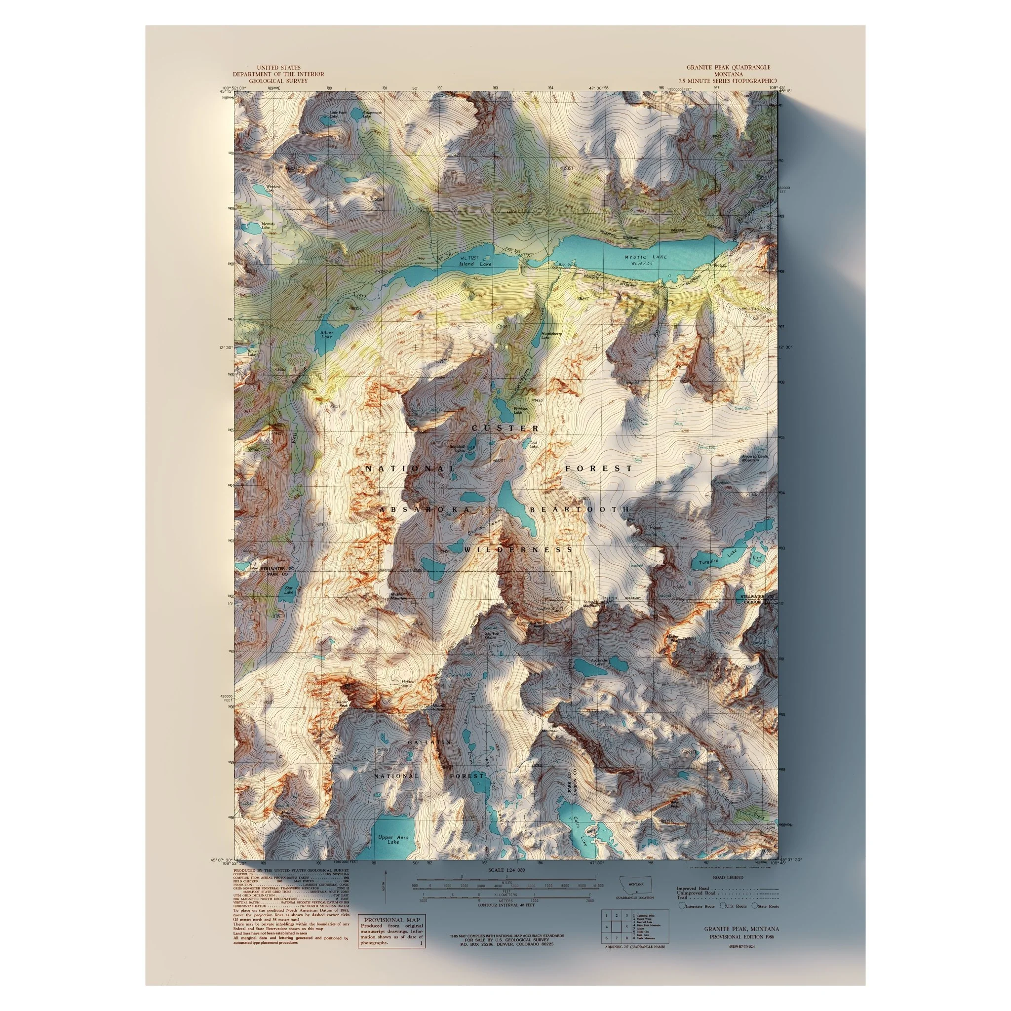
Granite Peak, Montana 1986 Shaded Relief Map
Granite Peak, Montana 1986 Shaded Relief Map
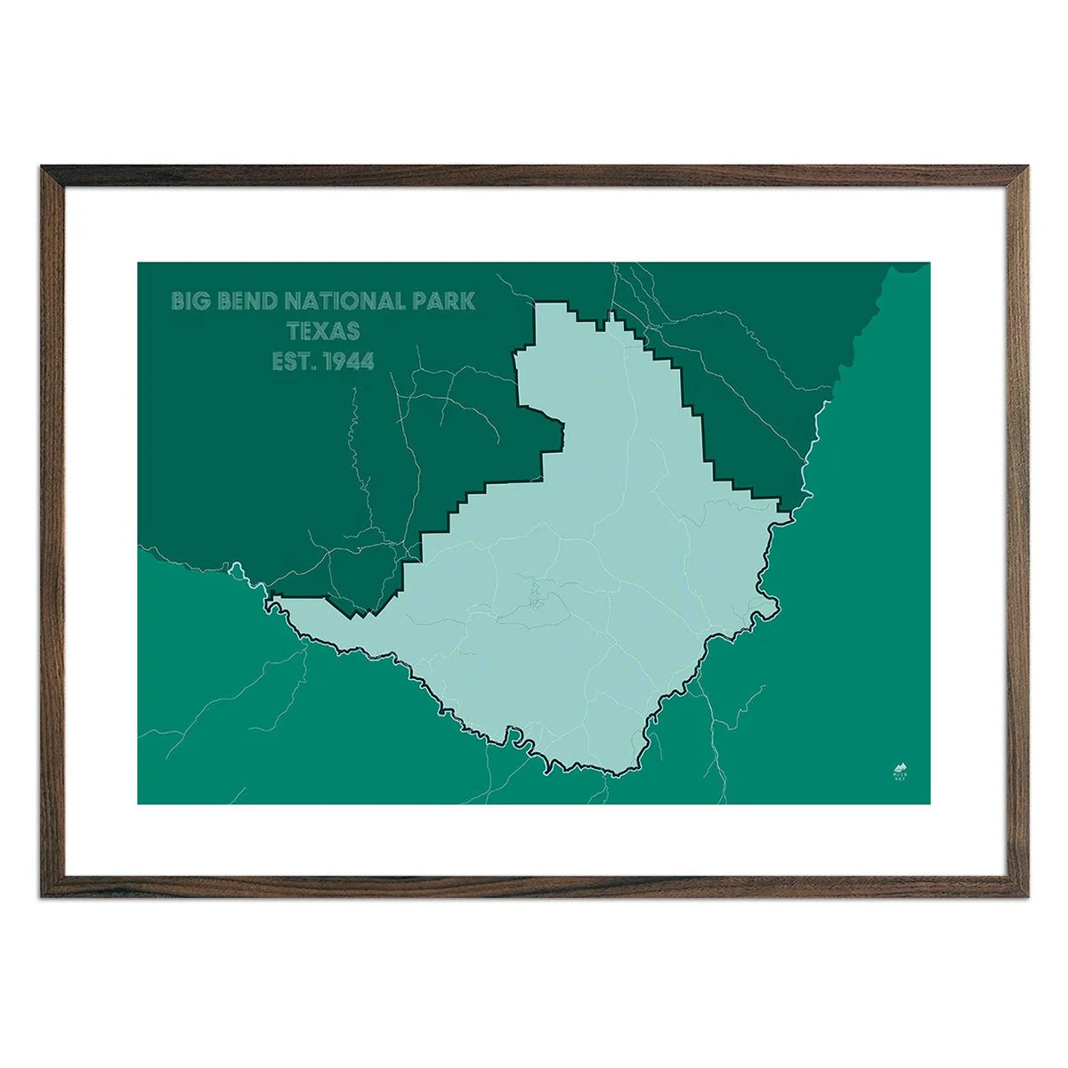
We created this map with the illusion of 3D by applying Digital Elevation Data and meticulously adding shaded relief to the landscape of the original 1986 USGS Quadrangle map of Granite Peak, Montana. This map showcases Granite Peak, the highest point in Montana, and Mystic Lake along with the surrounding peaks. The shading is printed on the paper and does not result from the map protruding from the surface.
Clouds are created for a surreal effect, available with or without
Please Note: Text on the map can be difficult to read due to the small font size and the age of the map. In areas where the relief shading covers the text, the underlying text may not be legible. We suggest the largest size map for better details though the text may still be covered in the darker areas.
Original: $622.00
-70%$622.00
$186.60Product Information
Product Information
Shipping & Returns
Shipping & Returns
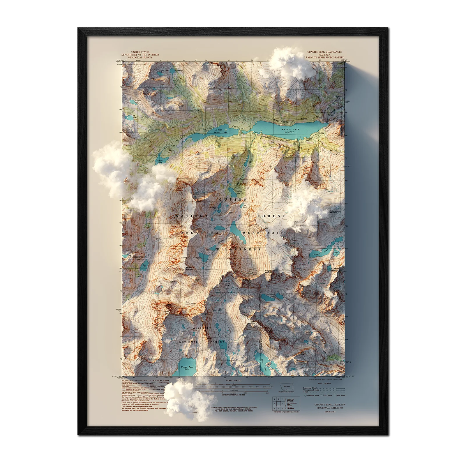
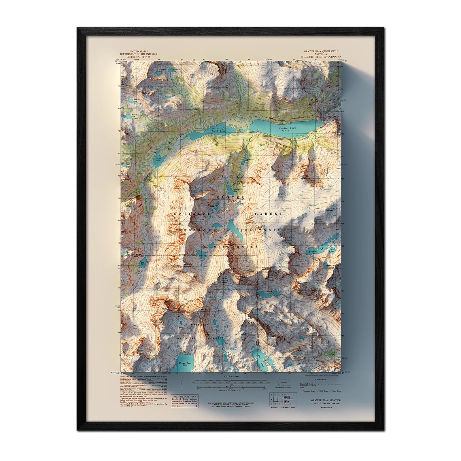
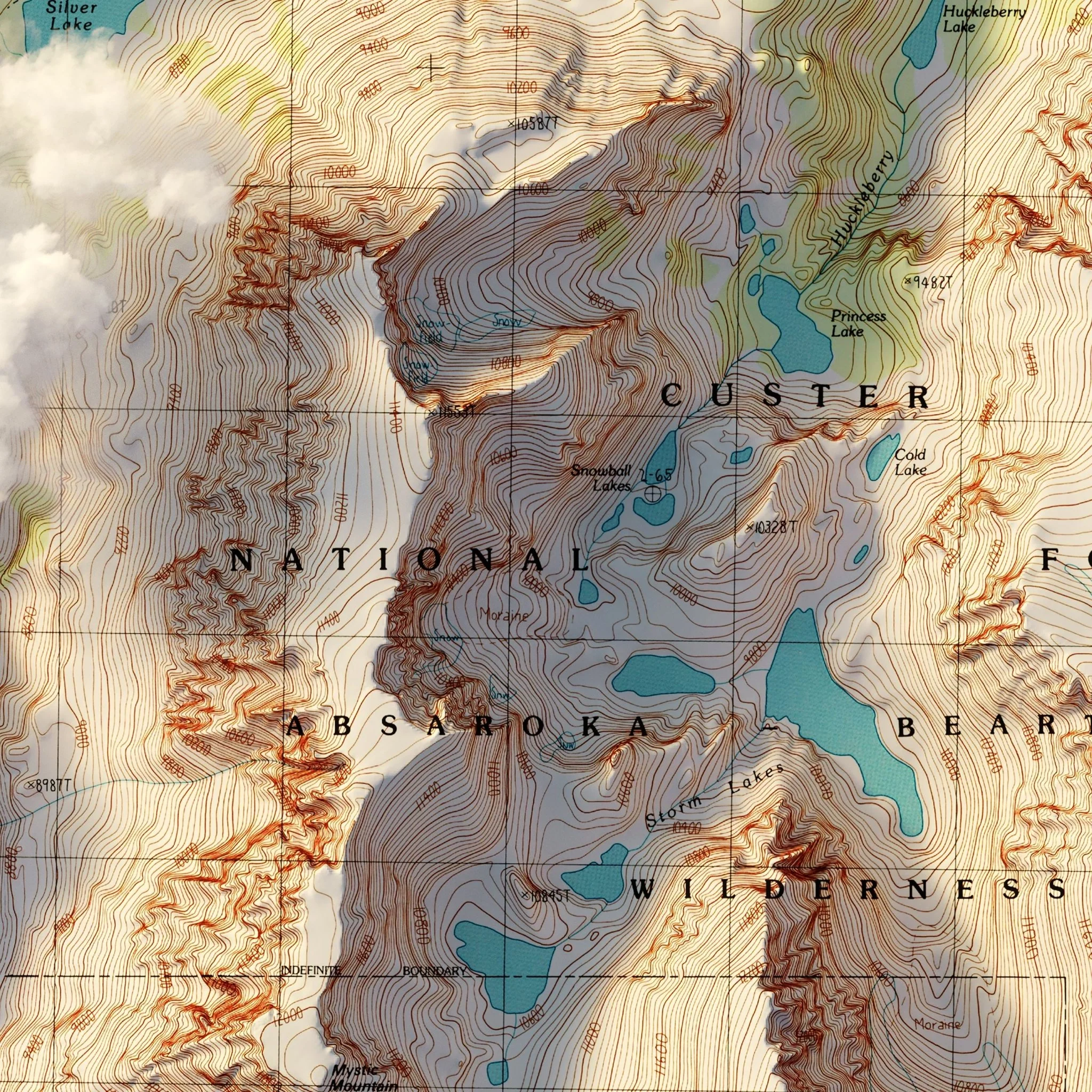
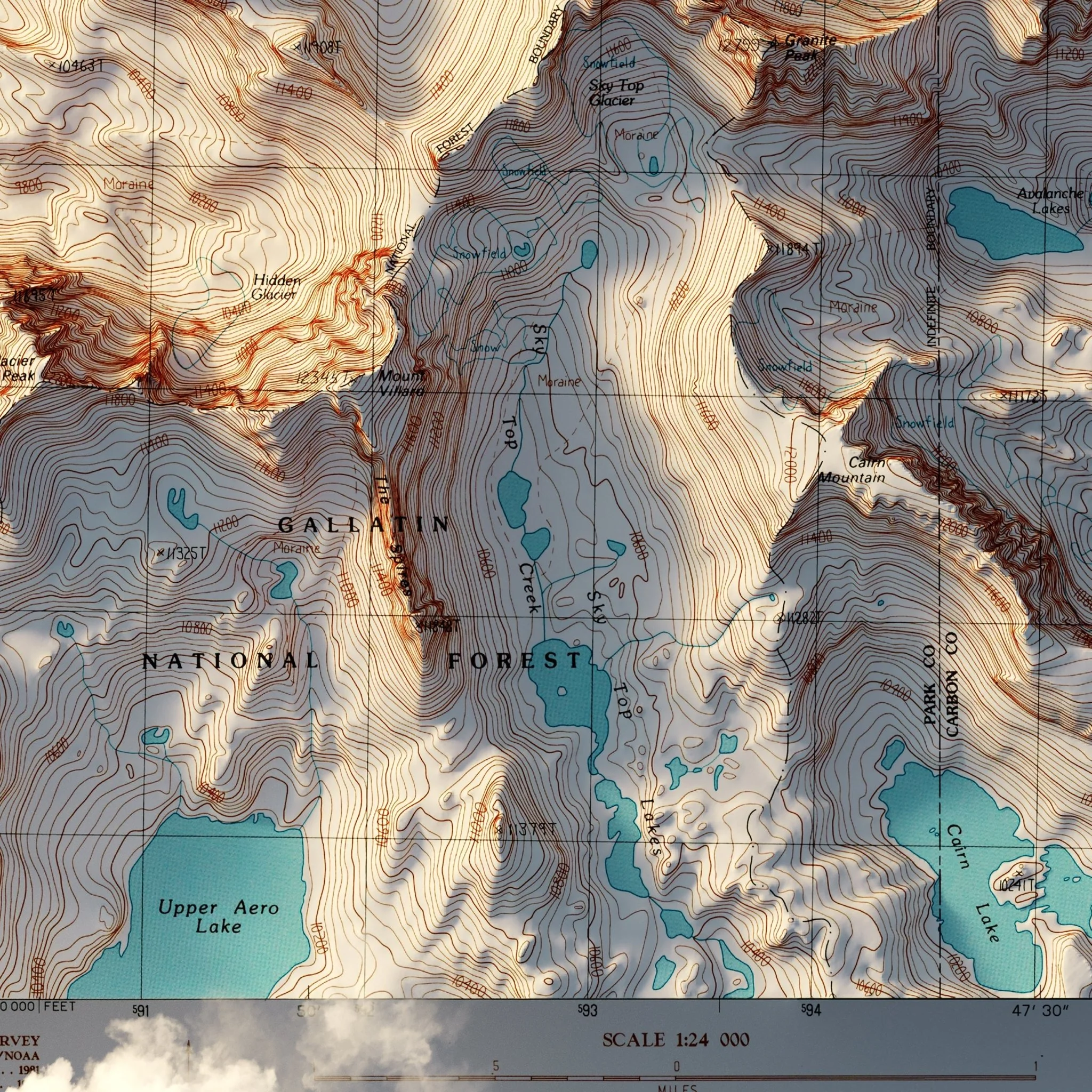
Description
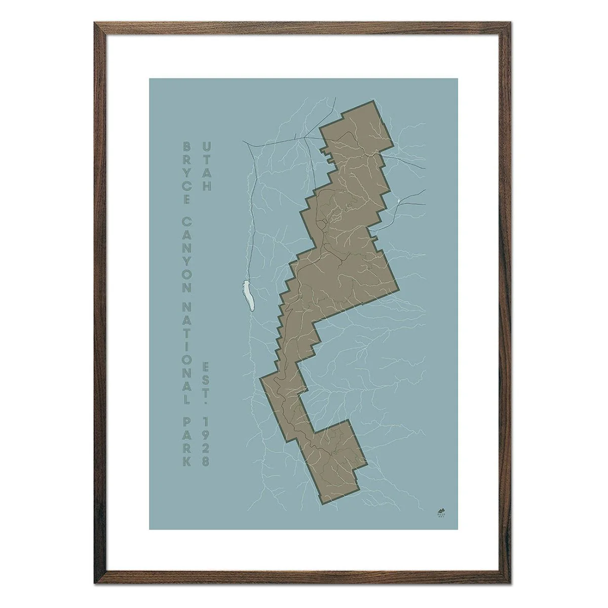
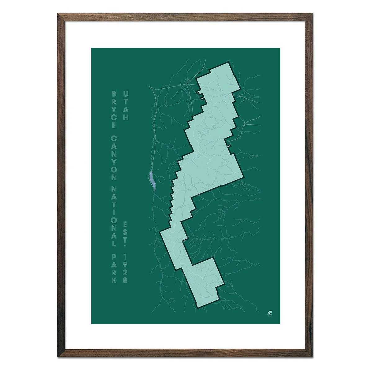
We created this map with the illusion of 3D by applying Digital Elevation Data and meticulously adding shaded relief to the landscape of the original 1986 USGS Quadrangle map of Granite Peak, Montana. This map showcases Granite Peak, the highest point in Montana, and Mystic Lake along with the surrounding peaks. The shading is printed on the paper and does not result from the map protruding from the surface.
Clouds are created for a surreal effect, available with or without
Please Note: Text on the map can be difficult to read due to the small font size and the age of the map. In areas where the relief shading covers the text, the underlying text may not be legible. We suggest the largest size map for better details though the text may still be covered in the darker areas.